
Stock image Political Map page 2


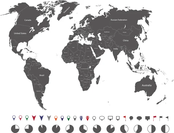
Political World Map And Geo Tag Pin Pointers Marker Vector Illustration
Vector, 9.27MB, 5500 × 5500 eps

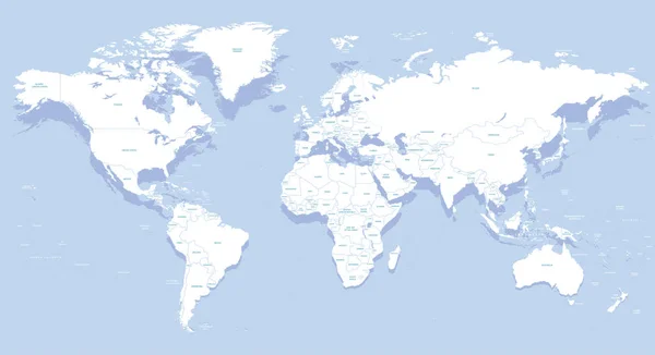
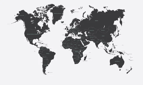
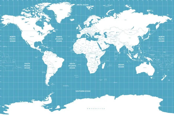
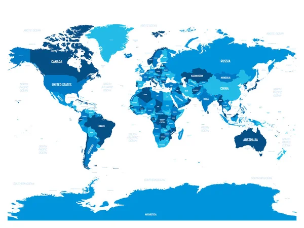
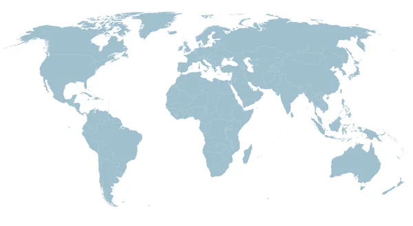
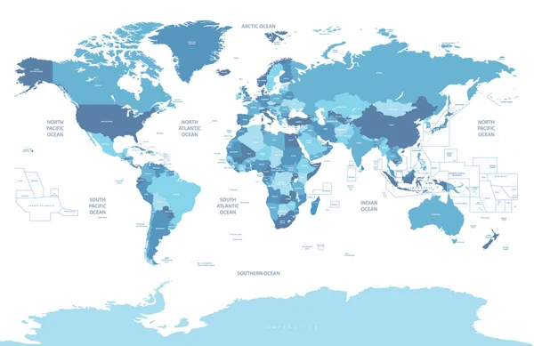
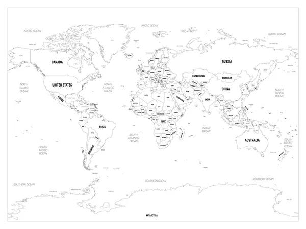
World Map In Blue Color On White Background. High Detail Blank Political Map. Vector Illustration With Labeled Compound Path Of Each Country
Vector, 3.97MB, 8000 × 6000 eps
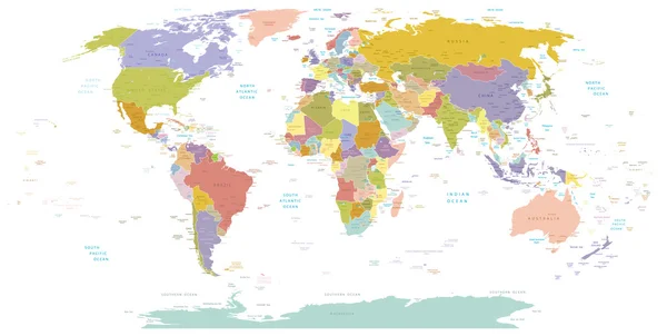
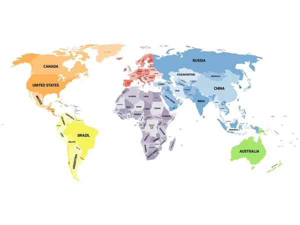
Political Map Of World With Antarctica. Countries In Four Different Colors Without Borders On White Background. Black Labels Of States And Significant Dependent Territories Names. High Detail Vector
Vector, 4.49MB, 6000 × 4500 eps


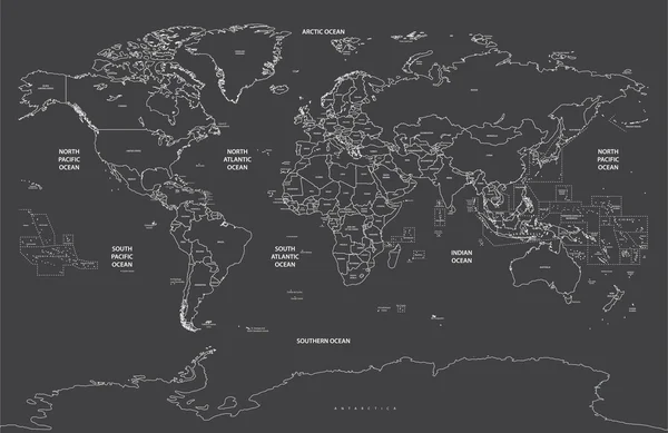
World Map - Green Hue Colored On Dark Background. High Detailed Political Map Of World With Country, Capital, Ocean And Sea Names Labeling
Vector, 5.64MB, 6000 × 4500 eps
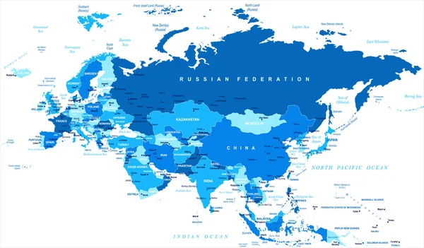
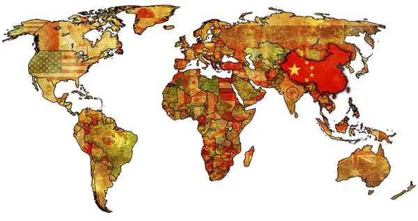
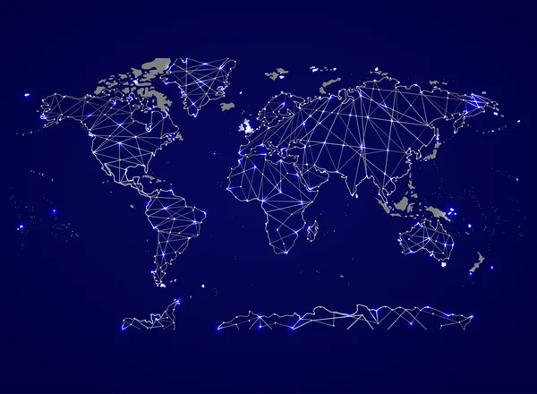
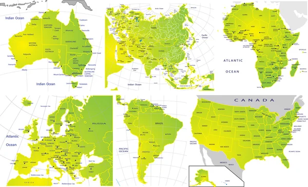
Eurasia Europa Russia China India Indonesia Map - Vector Illustration
Vector, 3.98MB, 7801 × 4572 eps
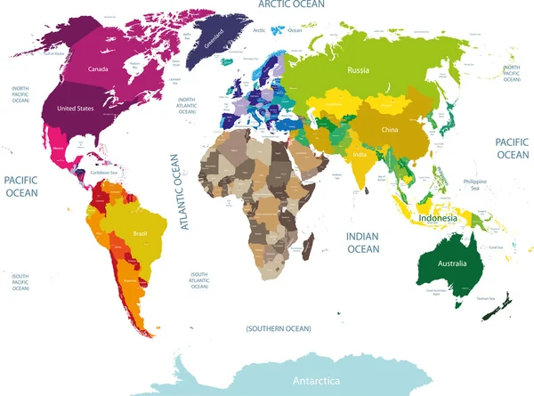
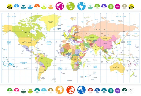
Vector High Detailed World Political Map With Countries And Oceans Names And Location\navigation Icons. All Layers Detached And Labeled. Vector
Vector, 12.12MB, 10417 × 7579 eps
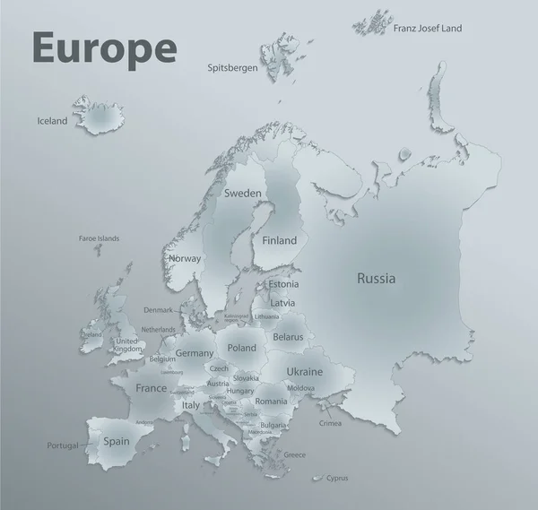
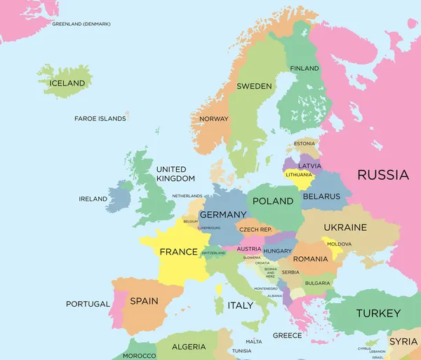
Europe Map, New Political Detailed Map, Separate Individual States, With State Names,, Glass Card Paper 3D
Vector, 17.39MB, 4216 × 4000 eps


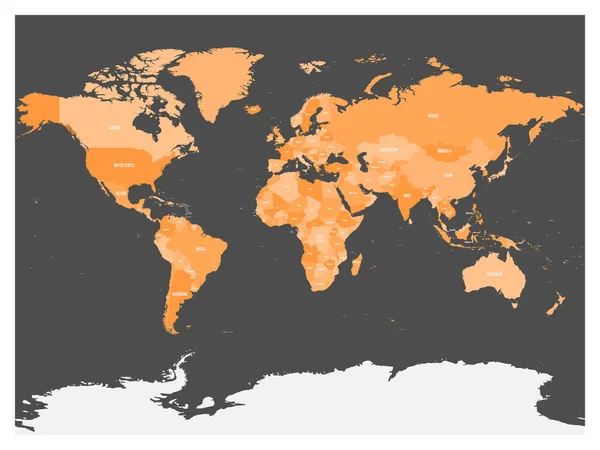
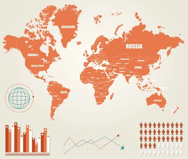
Political Map Of World With Antarctica. Countries In Four Shades Of Orange Without Borders On Dark Grey Background. White Labels With States And Significant Dependent Territories Names. High Detail
Vector, 4.48MB, 6000 × 4500 eps
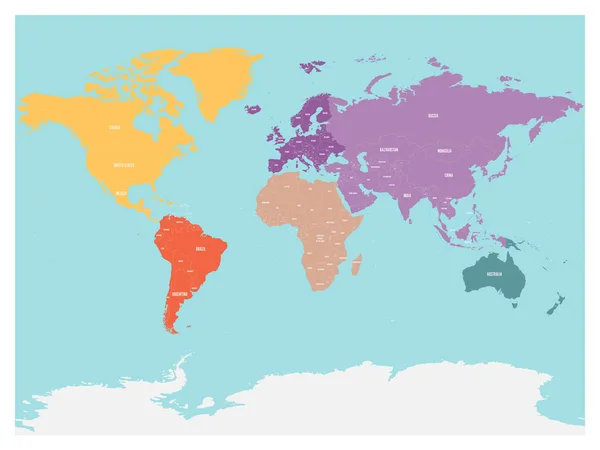
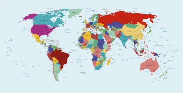
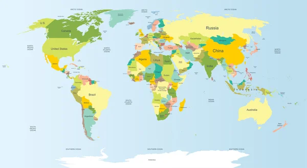
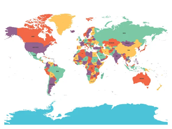
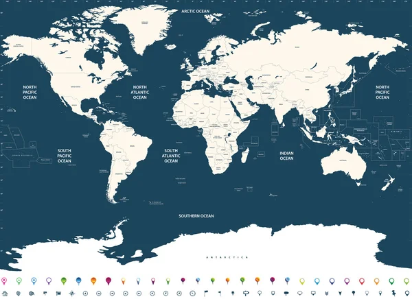
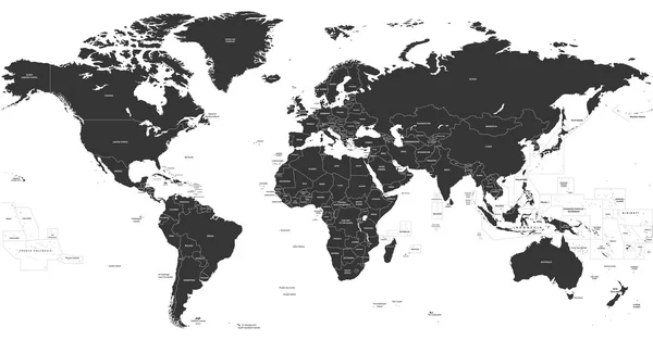
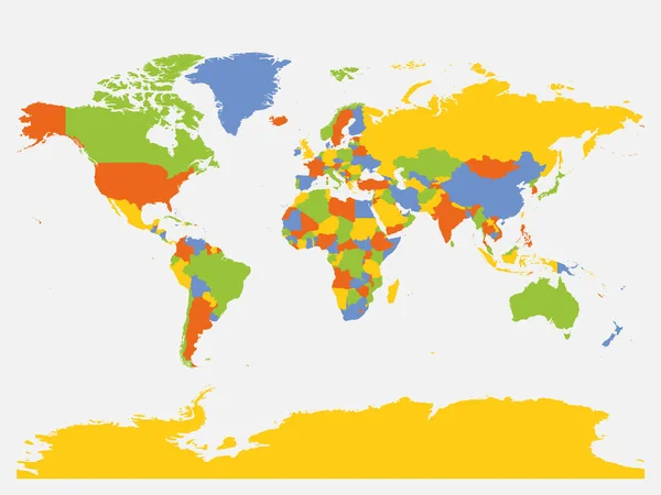
Political Map Of World With Antarctica. Continents In Different Colors On Blue Background. Black Labels With States And Significant Dependent Territories Names. High Detail Vector Illustration
Vector, 7.65MB, 6000 × 4500 eps
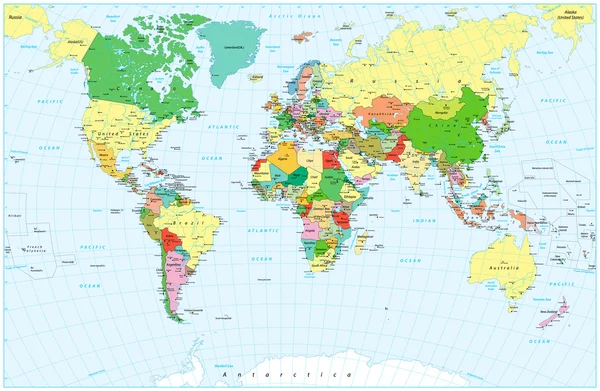
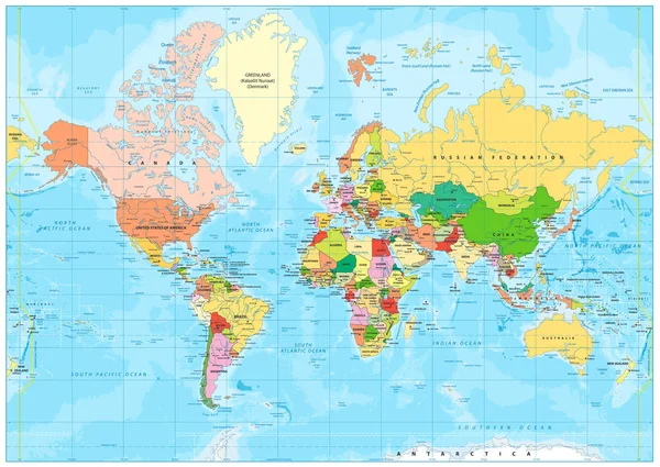
World Map. High Detailed Political Map Of World With Country, Capital, Ocean And Sea Names Labeling
Vector, 13.95MB, 6000 × 4500 eps
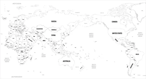
World Map - Asia, Australia And Pacific Ocean Centered. High Detailed Political Map Of World With Country, Capital, Ocean And Sea Names Labeling
Vector, 8.12MB, 6000 × 3250 eps

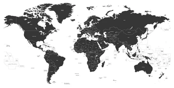
Political Map Of World With Antarctica. Continents In Different Colors On Blue Background. White Labels With States And Significant Dependent Territories Names. High Detail Vector Illustration
Vector, 7.64MB, 6000 × 4500 eps

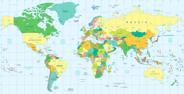
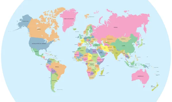
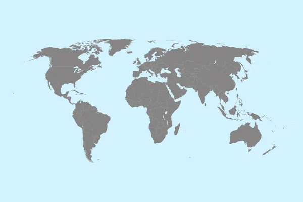
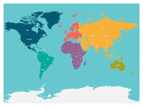
World Map With Names Of Sovereign Countries And Larger Dependent Territories. Simplified Multicolored Vector Map On Blue Background
Vector, 5.86MB, 6000 × 4485 eps
Previous << Page 2 >> Next