
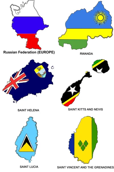
Stock image Saint Vincent Map page 2

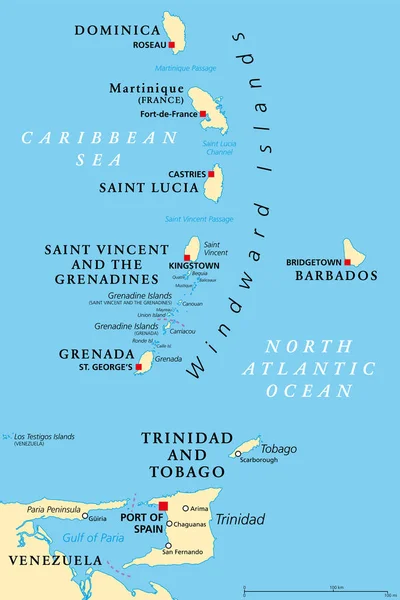
Windward Islands Political Map. Islands Of The Lesser Antilles, South Of The Leeward Islands In The Caribbean Sea. From Dominica, Martinique, Saint Lucia, Saint Vincent And The Grenadines, To Grenada.
Vector, 2.87MB, 6000 × 9000 eps


Caribbean On 3D Model Of Earth With Country Borders And Water In Oceans. 3D Illustration Isolated On White Background.
Image, 13.73MB, 5000 × 3750 jpg


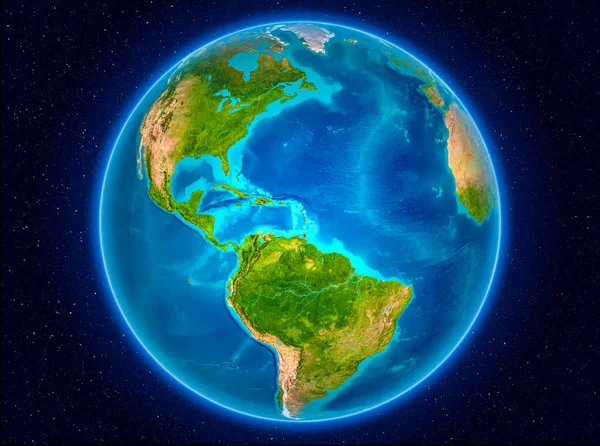
Caribbean On Digital Planet Earth With International Network Representing Communication, Travel And Connections. 3D Illustration. Elements Of This Image Furnished By NASA.
Image, 15.57MB, 5000 × 3750 jpg


Vector Map Saint Vincent And The Grenadines. Isolated Vector Illustration. Black On White Background. EPS 10 Illustration.
Vector, 0.6MB, 5000 × 5000 eps
Bequia Map Island Silhouette Icon Isolated Bequia Black Map Outline Vector Illustration
Vector, 0.2MB, 8333 × 8333 eps


Caribbean From Space On Planet Earth With Blue Digital Network Representing International Communication, Technology And Travel. 3D Illustration. Elements Of This Image Furnished By NASA.
Image, 11.63MB, 5000 × 3750 jpg


Caribbean From Space On Model Of Blue Digital Planet Earth. Concept Of Blue Digital Technology, Connectivity And Travel. 3D Illustration. Elements Of This Image Furnished By NASA.
Image, 15.63MB, 5000 × 3750 jpg
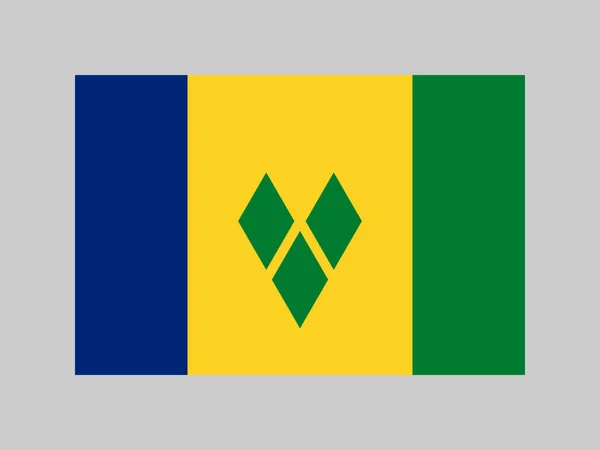
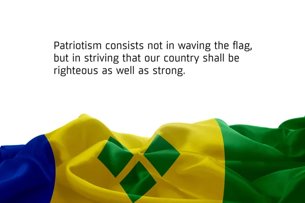
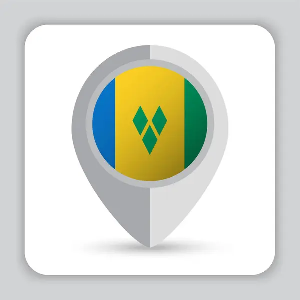
Saint Vincent And The Grenadines Flag, Official Colors And Proportion. Vector Illustration.
Vector, 5.12MB, 8334 × 6251 eps
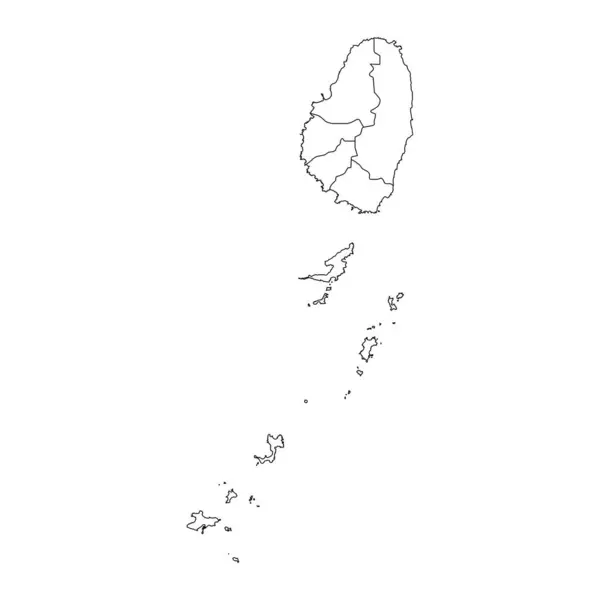
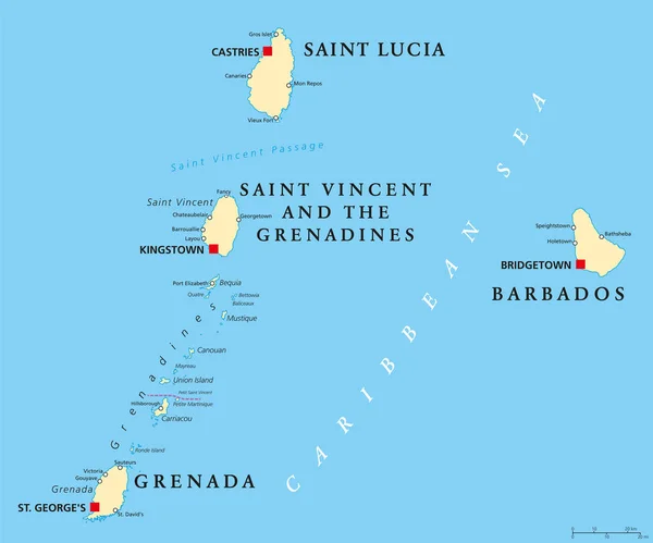
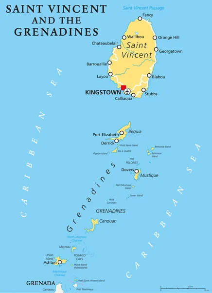
Saint Vincent And The Grenadines Map With Administrative Divisions. Vector Illustration.
Vector, 5.97MB, 8334 × 8334 eps


Saint Patrick Parish Map, Administrative Division Of Saint Vincent And The Grenadines. Vector Illustration.
Vector, 5.82MB, 8334 × 8334 eps

Charlotte Parish Map, Administrative Division Of Saint Vincent And The Grenadines. Vector Illustration.
Vector, 5.82MB, 8334 × 8334 eps

Saint Vincent Island In The Caribbean Sea On A Topographic, OSM Humanitarian Style Map
Image, 0.77MB, 2880 × 1620 jpg


SAINT VINCENT AND THE GRENADINES Round Sign. Futuristic Satelite View Of The World Centered To SAINT VINCENT AND THE GRENADINES. Geographical Badge With Map, Round Text And Binary Background.
Vector, 4.77MB, 5477 × 5477 eps

Saint Vincent And The Grenadines Map With Administrative Divisions. Vector Illustration.
Vector, 5.83MB, 8334 × 8334 eps

Pink Hearts With White Map Of Saint Vincent And The Grenadines On White Background 3d Illustration
Image, 1.04MB, 3080 × 2200 jpg

Saint Vincent Island In The Caribbean Sea, Belonging To Saint Vincent And The Grenadines, Isolated On A Topographic, OSM Humanitarian Style Map, With Distance Scale
Image, 1.07MB, 2160 × 2160 jpg

Saint George Parish Map, Administrative Division Of Saint Vincent And The Grenadines. Vector Illustration.
Vector, 5.38MB, 8334 × 8334 eps

Saint Vincent And The Grenadines Is Magnified Over A World Map, Illustration With Airplane, Passport, Boarding Pass, Compass And Eyeglasses.
Vector, 5.15MB, 8000 × 4000 eps

Saint Andrew Parish Map, Administrative Division Of Saint Vincent And The Grenadines. Vector Illustration.
Vector, 5.82MB, 8334 × 8334 eps


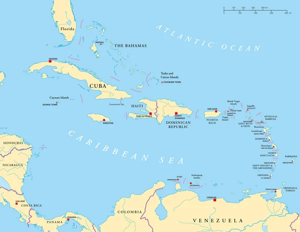
Map Of The State Of Saint Vincent And The Grenadines. An Independent State Located In The Caribbean Sea. Black And White Vector Illustration.
Vector, 0.4MB, 5760 × 3297 eps

Saint Patrick Parish Map, Administrative Division Of Saint Vincent And The Grenadines. Vector Illustration.
Vector, 5.36MB, 8334 × 8334 eps


Saint Vincent Island In The Caribbean Sea, Belonging To Saint Vincent And The Grenadines, Isolated On A Satellite Image Taken In August 1, 2023, With Distance Scale
Image, 1.75MB, 2160 × 2160 jpg


Saint George Parish Map, Administrative Division Of Saint Vincent And The Grenadines. Vector Illustration.
Vector, 5.37MB, 8334 × 8334 eps

Saint Andrew Parish Map, Administrative Division Of Saint Vincent And The Grenadines. Vector Illustration.
Vector, 5.35MB, 8334 × 8334 eps
Previous << Page 2 >> Next