
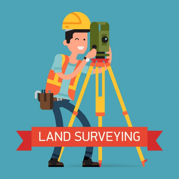
Stock image Surveying And Mapping
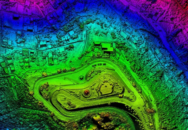
High Resolution Orthorectified, Orthorectification Aerial Map Used For Photogrammetry Panecillo Hill In Quito Ecuador
Image, 35.09MB, 6000 × 4173 jpg
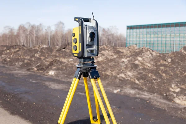

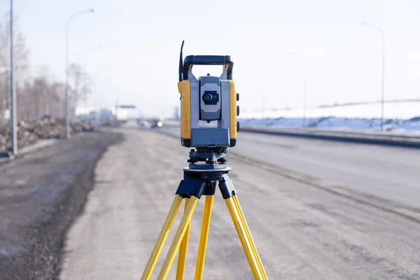
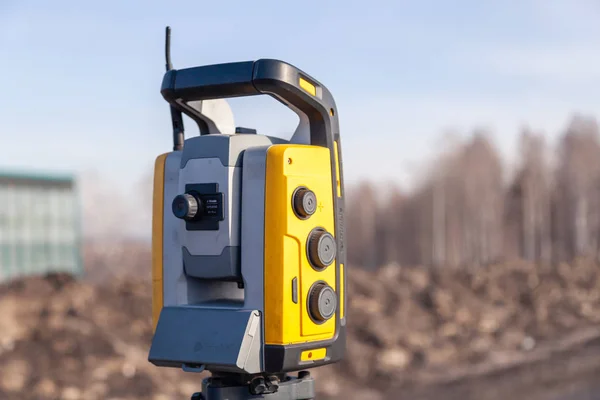
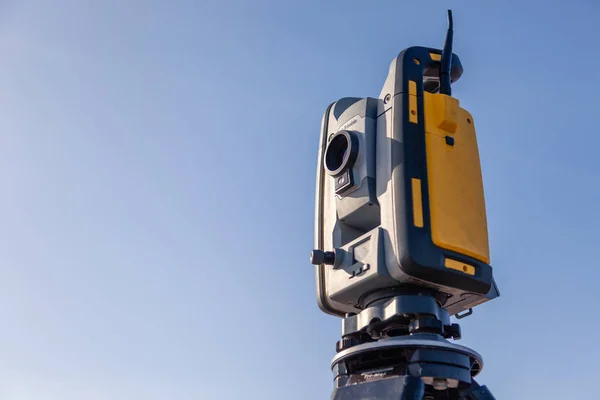
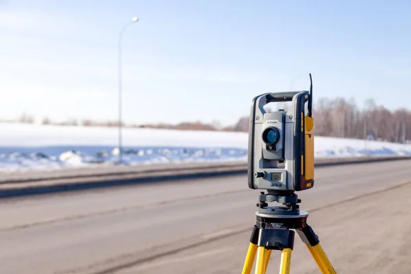
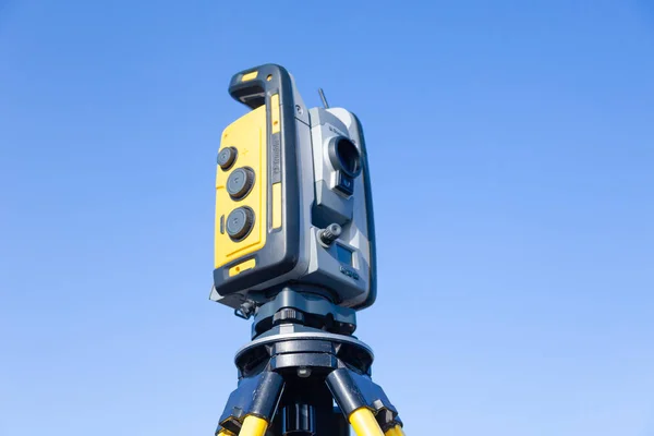
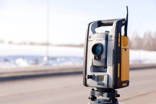
Geodetic Surveying Station Measures Distances And Angles In The Field On A Yellow Tripod, Professional Equipment For Land Mapping
Image, 6.55MB, 5000 × 3336 jpg

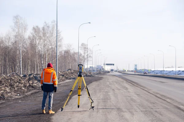
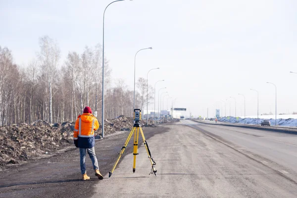


Geodetic Engineer Surveyor In White Hard Hat Doing Measurements With GNSS Satellite Receiver During Road Construction Works.
Image, 5.86MB, 3000 × 2250 jpg


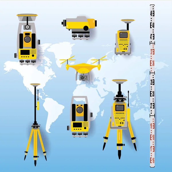
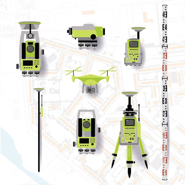
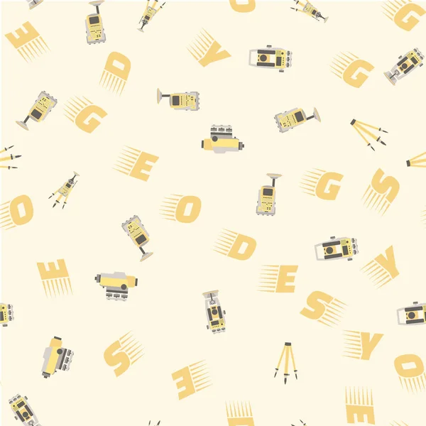
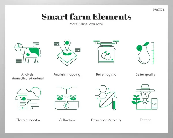
Geodetic Equipment Vector Illustration. Measuring Instruments In Flat Design. Theodolite, Tacheometer, Total Station, Drone, Level, Map Sketch Isolated On World Map Blue Background.
Vector, 17.04MB, 5001 × 5001 eps

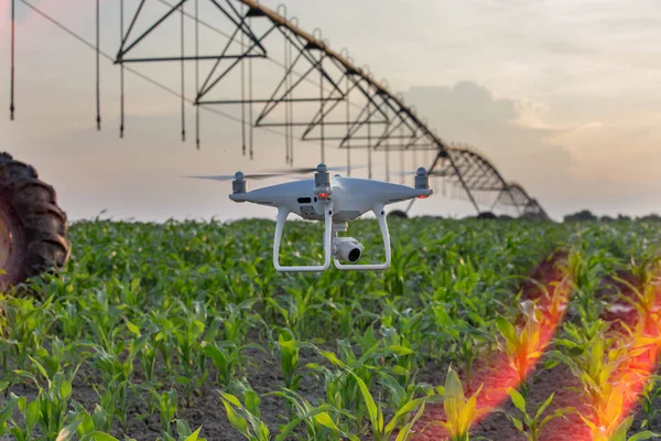
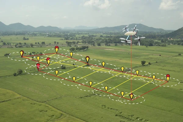
Drone Flying And Mapping Field In Front Of Irrigation System. Farmland Surveying And Modern Technology Improvement In Crop Production
Image, 9.12MB, 5472 × 2824 jpg
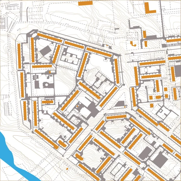
Geodetics Engineering Technology And Equipment. Vector Line Art Illustration On City Map Background
Vector, 7.54MB, 5001 × 5001 eps

Geodetic Equipment Vector Illustration. Measuring Instruments In Flat Design. Theodolite, Tacheometer, Total Station, Drone, Level, Map Sketch Isolated On World Map Background.
Vector, 2.57MB, 5000 × 5000 eps


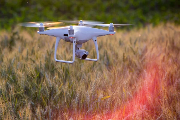
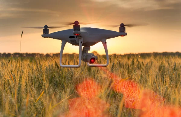
Drone Flying And Mapping Wheat Field In Spring. Farmland Surveying And Modern Technology Improvement In Crop Production
Image, 11.72MB, 5472 × 3648 jpg
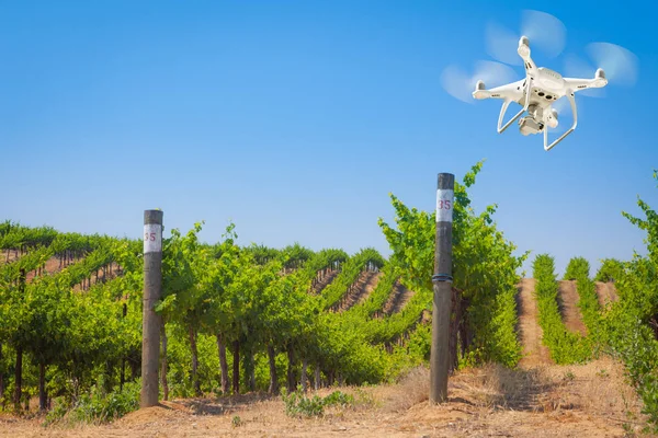
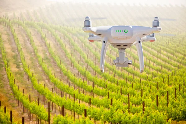
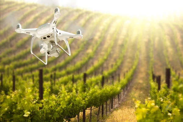
Unmanned Aircraft System (UAV) Quadcopter Drone In The Air Over Grape Vineyard Farm
Image, 10.39MB, 5425 × 3617 jpg
Drone Flying And Mapping Corn Field In Front Of Irrigation System. Farmland Surveying And Modern Technology Improvement In Crop Production
Image, 11.19MB, 5472 × 3648 jpg

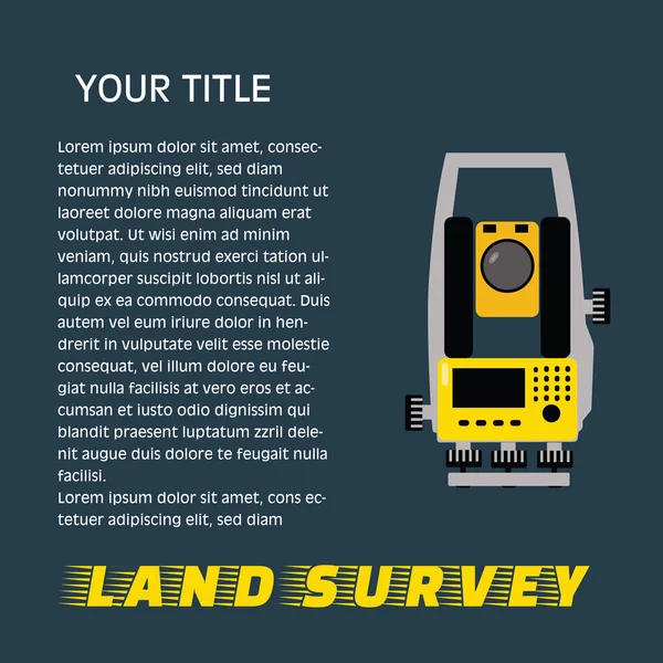
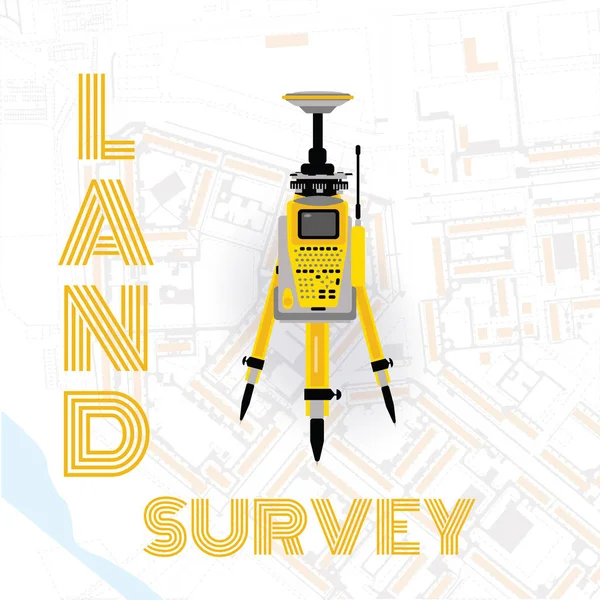
Geodetic Measuring Equipment, Engineering Technology For Land Survey Banner On Dark Background.Isolate Icon Of Theodolit
Vector, 0.93MB, 5001 × 5001 eps

Unmanned Aircraft System (UAV) Quadcopter Drone In The Air Over Grape Vineyard Farm.
Image, 7.93MB, 7438 × 4961 jpg


Unmanned Aircraft System (UAV) Quadcopter Drone In The Air Over Grape Vineyard Farm
Image, 13.98MB, 5616 × 3744 jpg

Unmanned Aircraft System (UAV) Quadcopter Drone In The Air Over Grape Vineyard Farm.
Image, 8.47MB, 7438 × 4961 jpg
Drone Flying And Mapping Wheat Field In Spring. Farmland Surveying And Modern Technology Improvement In Crop Production
Image, 9.31MB, 4896 × 3280 jpg

Drone Shot Down With A Shotgun Broken Black Quadcopter Lying On White Background
Image, 4.19MB, 4608 × 3456 jpg

Geodetic Measuring Equipment, Engineering Technology For Land Survey
Vector, 2.66MB, 5001 × 5001 eps
High Resolution Orthorectified Orthorectification Aerial Map Used For Photogrammetry Panecillo Hill In Quito Ecuador
Image, 31.67MB, 6000 × 4173 jpg

Unmanned Aircraft System (UAV) Quadcopter Drone In The Air Over Grape Vineyard Farm.
Image, 6.04MB, 5616 × 3744 jpg
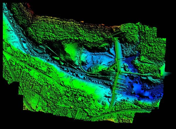
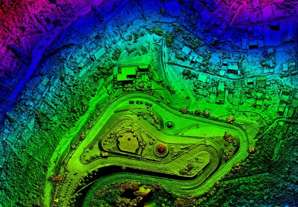
High Resolution Digital Elevation Model Of Agoyan Hydroelectric Dam In Banos De Agua Santa Blue Representing Low Altitude And Red High Altitude
Image, 22.07MB, 6000 × 4419 jpg
Drone Flying And Mapping Wheat Field In Spring. Farmland Surveying And Modern Technology Improvement In Crop Production
Image, 11.59MB, 5276 × 3419 jpg

Asia Spread Of The Something Epidemic War, Etc. The Texture Map Of The Earth Was Created In The Graphic Editor Without Photos And Other Images. 3d Illustration
Image, 2.19MB, 3840 × 2160 jpg
Page 1 >> Next