
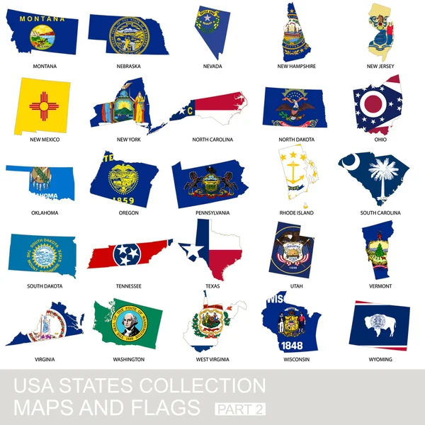
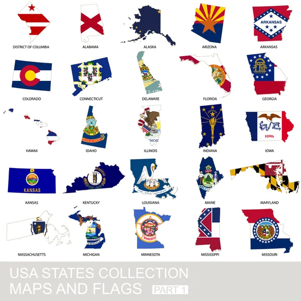
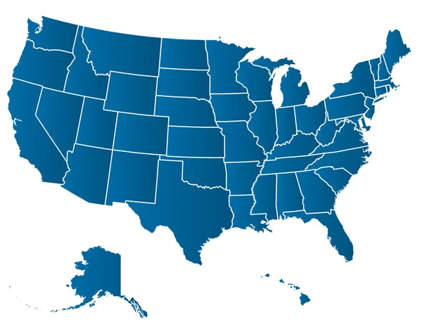
Stock image Usa State Maps
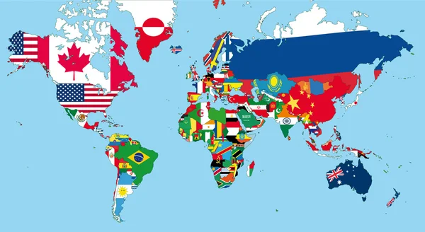


United States Of America Maps And Virginia State Territory. Vector USA Political Map. US Election Assistance App For Smart Phone. Technology Banner
Vector, 1.51MB, 6000 × 4000 eps
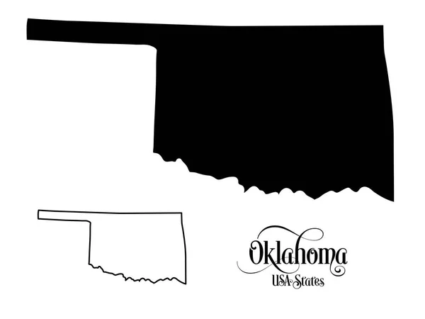
Map Of The United States Of America (USA) State Of Oklahoma - Illustration On White Background.
Vector, 0.99MB, 6667 × 5001 eps
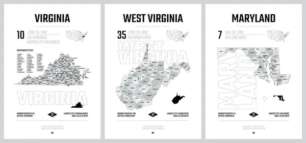
Highly Detailed Vector Silhouettes Of US State Maps, Division United States Into Counties, Political And Geographic Subdivisions Of A States, South Atlantic - Virginia, West Virginia, Maryland - Set 8 Of 17
Vector, 10.22MB, 9608 × 4501 eps

California Geometric Polygonal Mosaic Style Us State Maps Collection Bright Abstract Tessellation
Vector, 0.53MB, 8333 × 8333 eps

Alabama Map On A Brick Wall - Illustration, The State Of Alabama Map With Flag Inside
Vector, 2.06MB, 3771 × 6000 eps

Highly Detailed Vector Silhouettes Of US State Maps, Division United States Into Counties, Political And Geographic Subdivisions Of A States, West North Central - North Dakota, South Dakota, Nebraska - Set 7 Of 17
Vector, 6.36MB, 9608 × 4501 eps


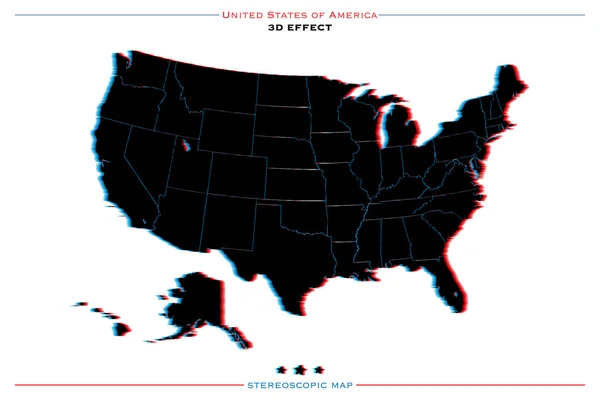
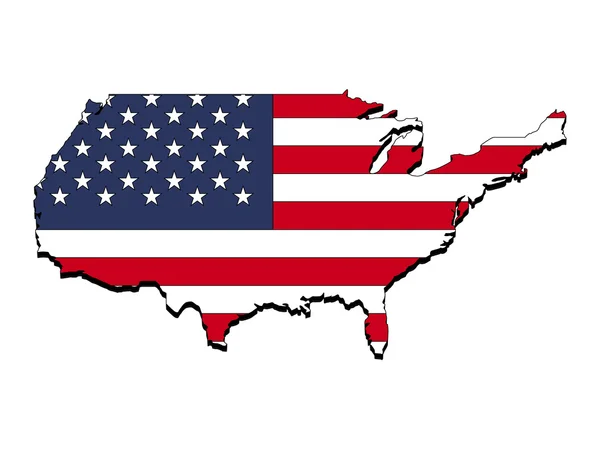
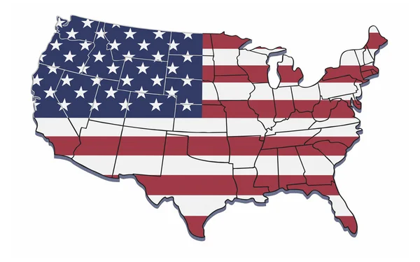
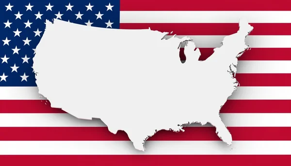
Stereoscopic Effect United States Of America Isolated Map. Vector USA Territory Political Map. Geographic Banner Template. Three-dimensional Illusion US Maps.
Vector, 2.13MB, 6000 × 4000 eps
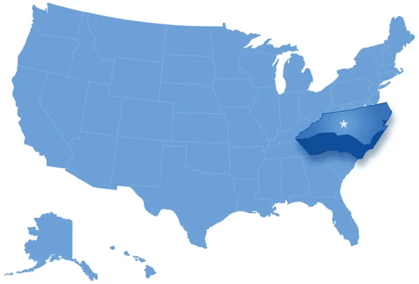
Map Of States Of The United States Where North Carolina Is Pulled Out
Vector, 2.28MB, 5666 × 3849 eps
Abstract Tree Dimensional Map Of United States, With National Flag Clipped In Country Shape, Vector
Vector, 1.84MB, 5120 × 3840 eps

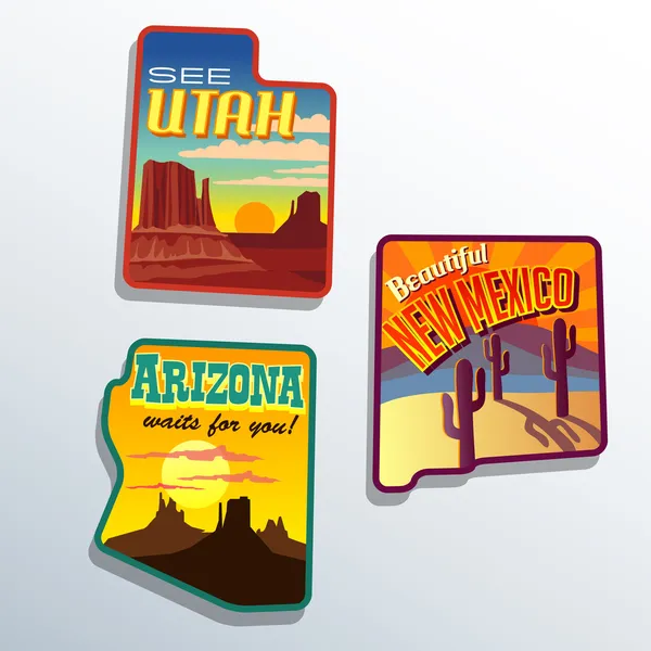
Southwest United States Arizona New Mexico Utah Vector Travel Illustrations Designs
Vector, 1.83MB, 6600 × 6600 eps
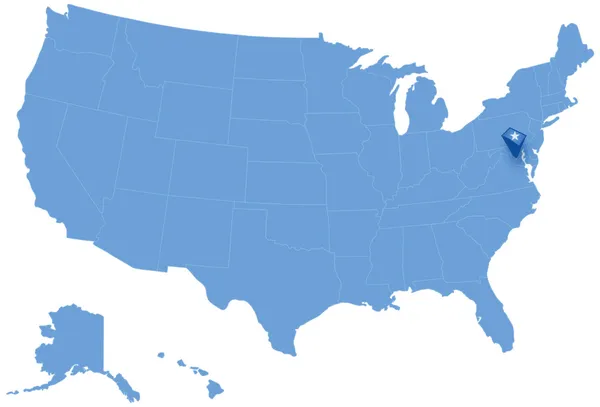
Map Of States Of The United States Where Federal District Of Columbia, Washington, D.C. Is Pulled Out
Vector, 1.5MB, 5666 × 3849 eps

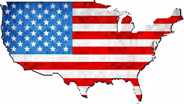
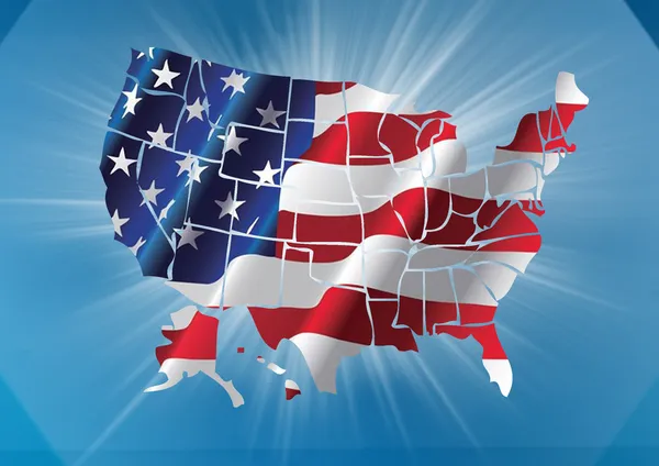
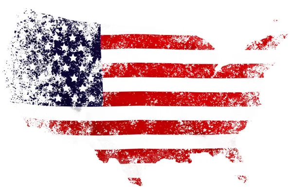
Grunge USA Map With Flag Inside - Illustration, Map Of USA Vector, Abstract Grunge Mosaic Flag Of USA
Vector, 4.42MB, 7078 × 4000 eps

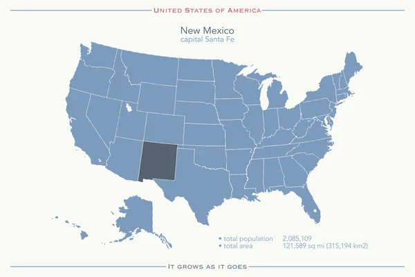
United States Of America Isolated Map And New Mexico State Territory. Vector USA Political Map. Geographic Banner Template
Vector, 0.76MB, 6000 × 4000 eps
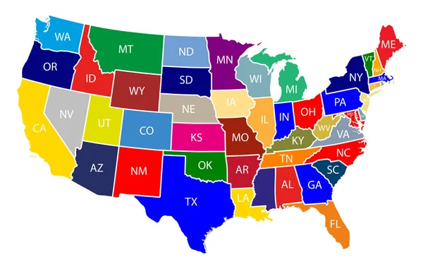
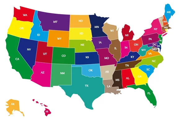
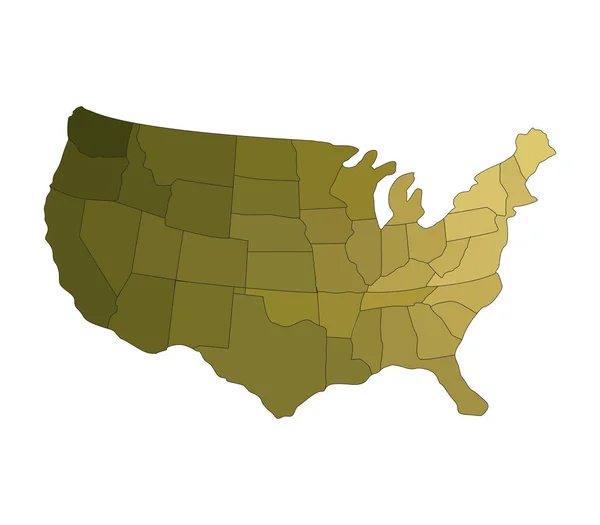
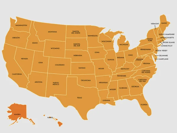
Map Of The United States Of America With Colorful States With Name Illustration On White Background
Vector, 0.68MB, 9167 × 5834 eps
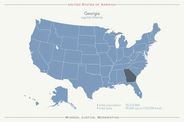
United States Of America Isolated Map And Georgia State Territory. Vector USA Political Map. Geographic Banner Design
Vector, 0.78MB, 6000 × 4000 eps


Page 1 >> Next