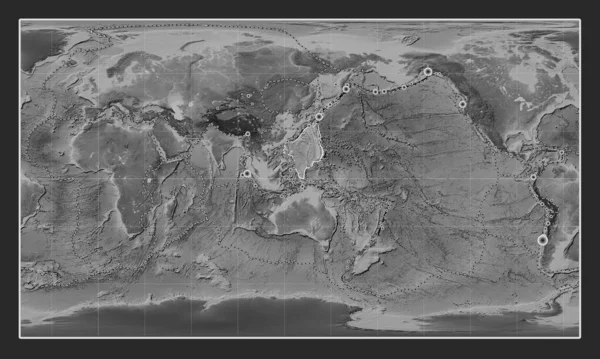
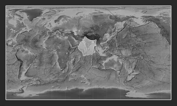
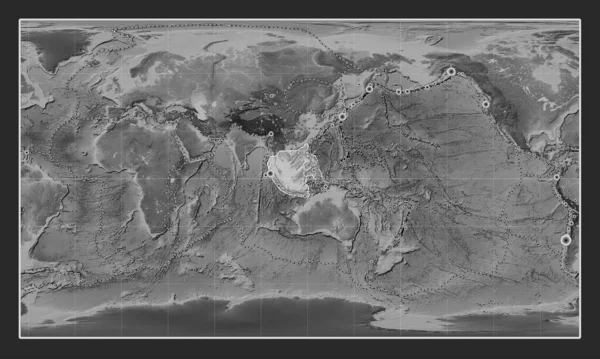
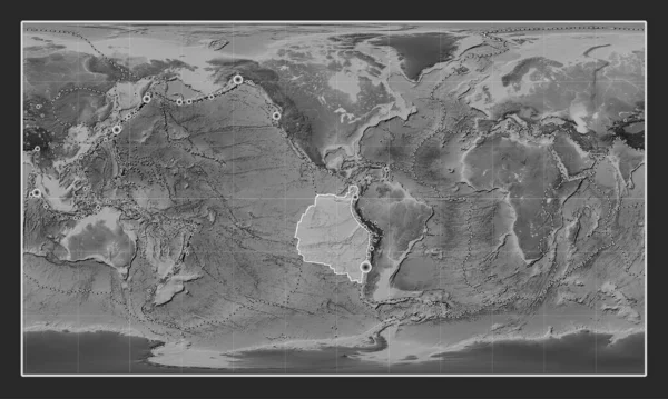
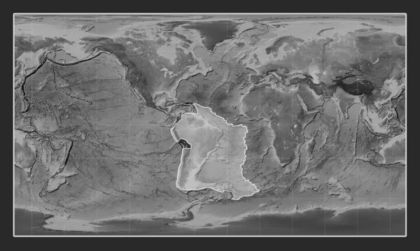
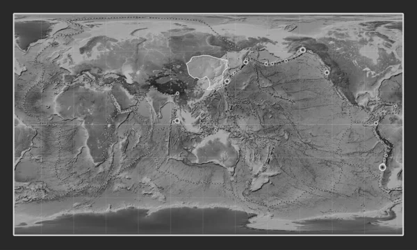
Stock image Amur tectonic plate on the grayscale elevation map in the Patterson Cylindrical projection centered meridionally. Locations of earthquakes above 6.5 magnitude recorded since the early 17th century
Published: Jul.24, 2023 13:14:28
Author: Yarr65
Views: 0
Downloads: 0
File type: image / jpg
File size: 6.59 MB
Orginal size: 4800 x 2878 px
Available sizes:
Level: bronze