Home
Images
Vectors
Videos
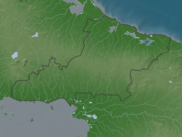
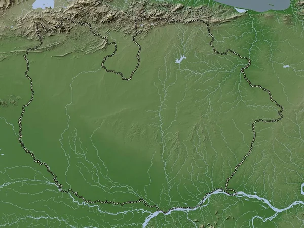
Stock image Anzoategui, state of Venezuela. Elevation map colored in wiki style with lakes and rivers
Published:
Apr.14, 2023 12:19:25
Author:
Yarr65
Views:
0
Downloads:
0
File type:
image
/
jpg
File size:
8.19 MB
Orginal size:
3840
x
2880
px
Available sizes:
S
(500 x 375)
M
(1000 x 750)
L
(2000 x 1500)
XL
(3840 x 2880)
EL0
(3840 x 2880)
Level:
bronze
Download Image
Image topics:
Shape
Nature
Border
Contour
Earth
Planet
World
Ocean
Science
Capital
Outline
Country
Map
Geography
Continent
Land
Zoom
State
Region
Territory
Atlas
Legend
Barcelona
Venezuela
Caracas
Stereographic
Ven
South America
San Diego
San Antonio
Santa Ana
Clarines
Anzoategui
El Tigre
Anaco
Onoto
Puerto La Cruz
Cantaura
Pariaguan
Aragua De Barcelona
Administrative Division
Guanta
Boca De Uchire
Valle De Guanape
El Chaparro
Puerto Piritu
Similar stock images
Anzoategui, State Of Venezuela. Colored Elevation Map With Lakes And Rivers
3840 × 2880
Guarico, State Of Venezuela. Elevation Map Colored In Wiki Style With Lakes And Rivers
3840 × 2880
Amapa, State Of Brazil. Colored Elevation Map With Lakes And Rivers
3840 × 2880
Barima-Waini, Region Of Guyana. Colored Elevation Map With Lakes And Rivers
3840 × 2880
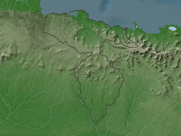
Upper Demerara-Berbice, Region Of Guyana. Elevation Map Colored In Wiki Style With Lakes And Rivers
3840 × 2880
Nord-Est, Department Of Haiti. Elevation Map Colored In Wiki Style With Lakes And Rivers
3840 × 2880
Las Tunas, Province Of Cuba. Elevation Map Colored In Wiki Style With Lakes And Rivers
3840 × 2880
Hato Mayor, Province Of Dominican Republic. Elevation Map Colored In Wiki Style With Lakes And Rivers
3840 × 2880