
Stock image Land Registry

Woman Working With Digital Land Registry Database On Computer In Office
Image, 8.19MB, 6634 × 4425 jpg

Woman Working With Digital Cadastral Map Land Register Database On Computer In Office
Image, 13.19MB, 7813 × 5212 jpg
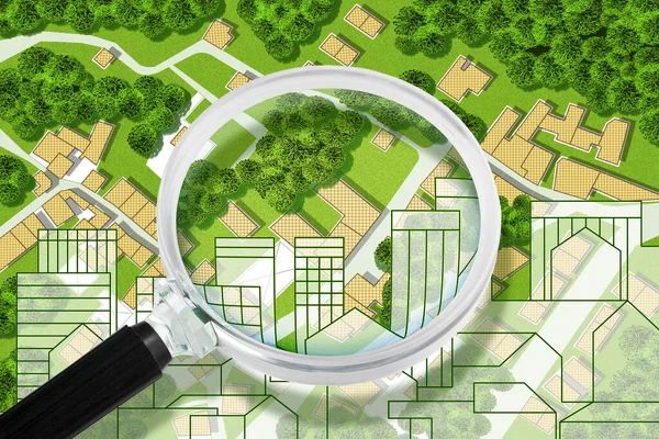
Searching New Home - Concept With An Imaginary General Urban Plan With Buildings, Roads And Magnifying Glass - NOTE: The Map Is Totally Invented And Does Not Represent Any Real Place
Image, 9.58MB, 4752 × 3168 jpg
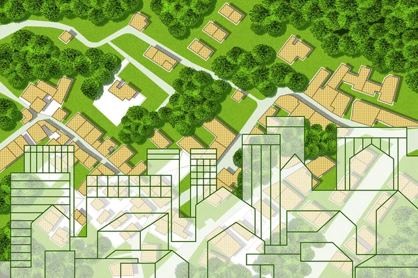
Searching New Home - Concept With An Imaginary General Urban Plan With Buildings, Roads And Magnifying Glass - NOTE: The Map Is Totally Invented And Does Not Represent Any Real Place
Image, 6.81MB, 4752 × 3168 jpg
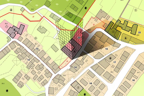
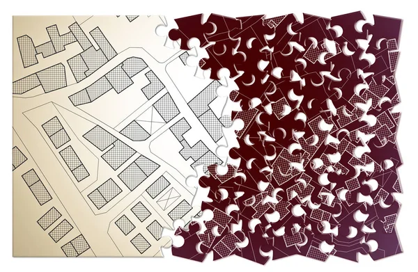
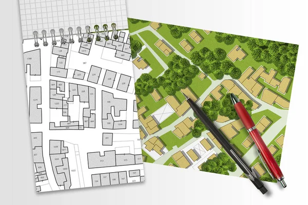
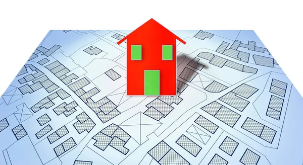
Imaginary Cadastral Map With Cadastral Parcels, Vacant Land Plots And Condominium Residential Building Model
Image, 16.6MB, 5760 × 3840 jpg
Imaginary Cadastral Map Of Territory With Building In The Center - Land Registry Concept Illustration - Note: The Map Background Is Totally Invented And Does Not Represent Any Real Place.
Image, 8.75MB, 5284 × 3520 jpg
Imaginary Topographic Cadastral Map And Land Parcels Of Territory With Trees On Background And Buildable Vacant Land For Sale - Concept Image.
Image, 18.53MB, 6349 × 3168 jpg
Imaginary Cadastral Map Of Territory With Building In The Center - Land Registry Concept Illustration - Note: The Map Background Is Totally Invented And Does Not Represent Any Real Place.
Image, 8.49MB, 5284 × 3520 jpg
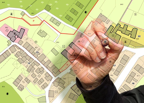
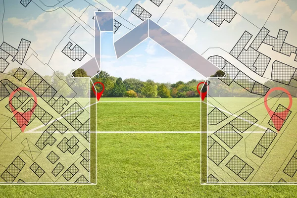
Imaginary General Urban Plan With Indications Of Urban Destinations With Buildings, Roads, Buildable Areas And Land Plot With Female Hand Writing
Image, 11.13MB, 5751 × 4147 jpg
Engineer Drawing An Imaginary Cadastral Map Of Territory Of A Rural Area With Buildings, Fields, Roads And Land Parcel.
Image, 16.68MB, 4752 × 3168 jpg


Real Estate Concept With An Imaginary Cadastral Map Of Territory With Cityscape, Buildings, Roads And Land Parcel
Image, 19.61MB, 5256 × 3504 jpg

Real Estate Concept With An Imaginary Cadastral Map Of Territory With Cityscape, Buildings, Roads And Land Parcel
Image, 21.58MB, 5256 × 3504 jpg
Real Estate Concept With An Imaginary Cadastral Map Of Territory With Cityscape, Buildings, Roads And Land Parcel - Concept Image Seen Through A Magnifying Glass
Image, 17.63MB, 4752 × 3168 jpg

Land Plot Management - Real Estate Concept With A Vacant Land Parcel Available For Building Construction - Housing Concept With Hand Holding A Little Red House In A Residential Area For Sale
Image, 13.94MB, 4752 × 3168 jpg
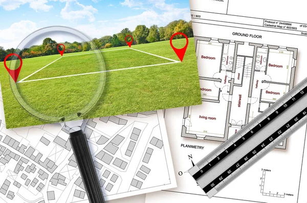
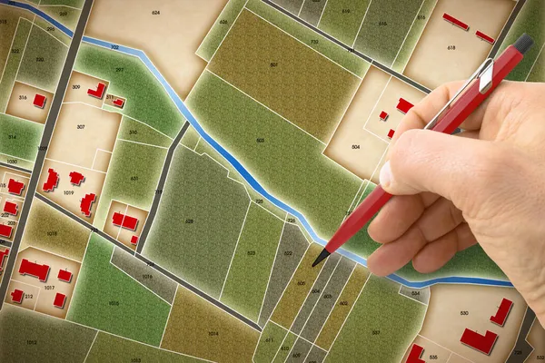
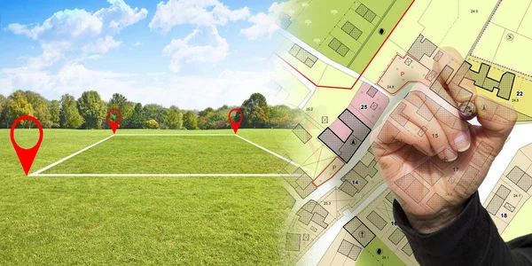
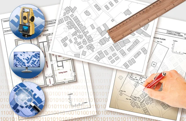
Updating Public Cadastral Databases And Information About Land Registry - Concept With An Imaginary Cadastral Map With Buildings, Land Plot, Magnifying Glass And Ruler
Image, 22MB, 7389 × 4902 jpg
Real Estate Concept With An Imaginary Cadastral Map Of Territory With Cityscape, Buildings, Roads And Land Parcel
Image, 24MB, 5256 × 3504 jpg
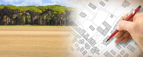
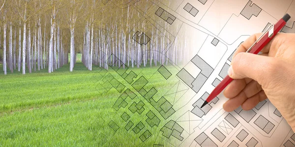
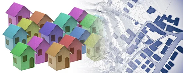
From Nature To A New City - Concept With A Vacant Land In A Rural Scene That Fades On The Map Of An Imaginary City Map With Buildings - Nature Becomes A City
Image, 18.66MB, 7872 × 3168 jpg

Imaginary General Urban Plan With Urban Destinations Roads, Buildable Areas, Land Plot And Lone Tree On A Rural Scene - Note: The Map Is Totally Invented And Does Not Represent Any Real Place
Image, 15.04MB, 7872 × 3168 jpg

Imaginary Topographic Cadastral Map And Land Parcels Of Territory With Trees On Background And Buildable Vacant Land For Sale - Concept Image.
Image, 26.42MB, 6349 × 3168 jpg
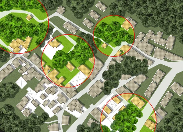
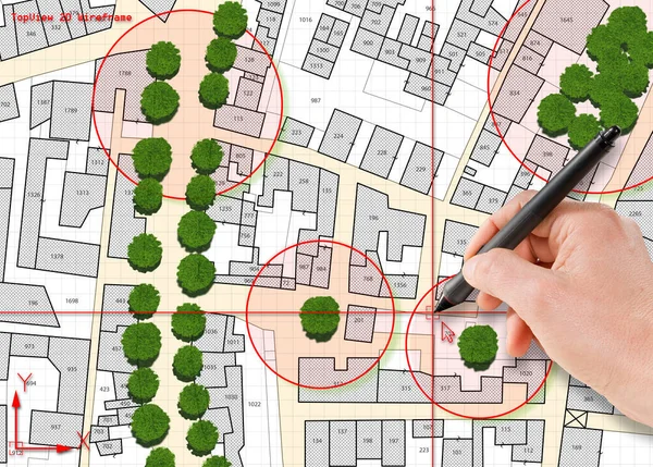
Census Of Trees In Cities - Green Management And Tree Mapping Concept With Imaginary City Map With Highlighted Trees
Image, 28.97MB, 5751 × 4147 jpg
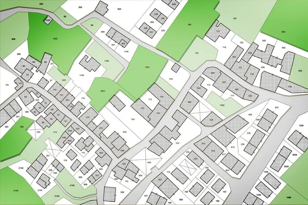
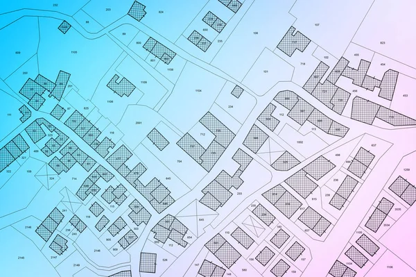
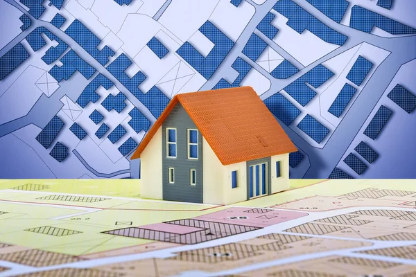
Imaginary Cadastral Map Of Territory With Buildings, Roads And Land Parcel - Land Registry Concept
Image, 23.19MB, 5760 × 3840 jpg

Land Plot Management - Imaginary City Map With Buildings, Land Parcels And Home Silhouette - Real Estate Concept With A Vacant Land On A Green Field Available For Building Construction In A Residential Area For Sale
Image, 9.22MB, 4659 × 3322 jpg
Land Plot Management - Imaginary City Map With Buildings, Land Parcels And Home Silhouette - Real Estate Concept With A Vacant Land On A Green Field Available For Building Construction In A Residential Area For Sale
Image, 15.47MB, 4686 × 3124 jpg
Land Plot Management - Real Estate Concept With A Vacant Land For Building Construction And Imaginary General Urban Plan With Indications Of Urban Destinations
Image, 17.59MB, 6336 × 3168 jpg
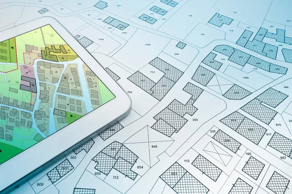
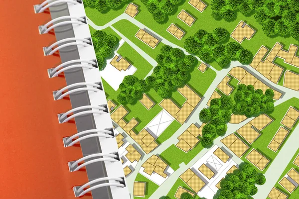
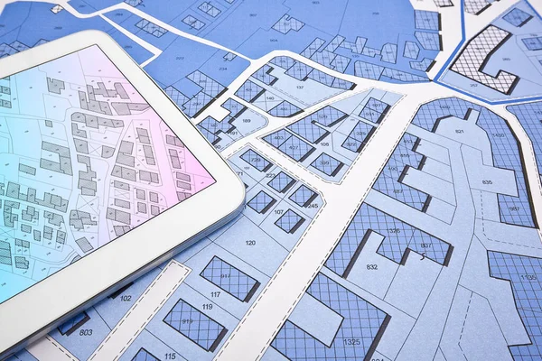
Buildings Permit Concept With Imaginary Cadastral On Digital Tablet - Building Activity And Construction Industry With General Urban Plan
Image, 12.16MB, 5760 × 3840 jpg

Buildings Permit Concept With Imaginary Cadastral On Digital Tablet - Building Activity And Construction Industry With General Urban Plan
Image, 12.16MB, 5760 × 3840 jpg
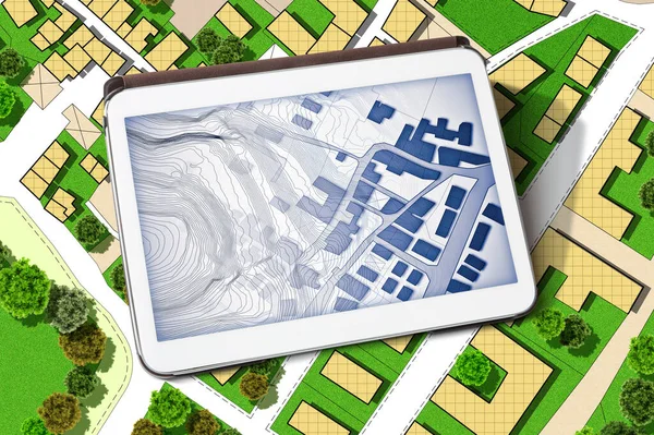
Imaginary Cadastral Map Of Territory With Buildings, Land Parcel And Green Areas With Trees - Concept With A Digital Tablet
Image, 22.13MB, 6042 × 4023 jpg
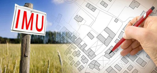
IMU (which Means Unique Municipal Tax) The Most Unpopular Italian Tax On Land And Buildings - Concept With Cadastral Map.
Image, 7.54MB, 5750 × 2692 jpg

Nature And City - Concept Image With A Green Grass Area Of A Public Park, City Map And Urban Skyline.
Image, 19.61MB, 10643 × 3168 jpg
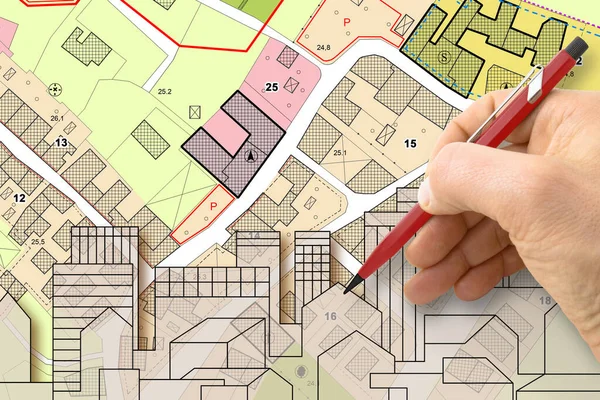
Architect Drawing Buildings Over An Imaginary Cadastral Map Of Territory And General Urban Plan With Indications Of Urban Destinations With Buildings, Roads, Buildable Areas And Land Plot
Image, 6.76MB, 4752 × 3168 jpg
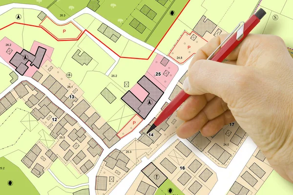
Engineer Drawing Over An Imaginary General Urban Plan Of Territory With Buildings, Roads And Land Parcel - Note: The Map Is Totally Invented And Does Not Represent Any Real Place
Image, 6.87MB, 4752 × 3168 jpg
Imaginary Cadastral Map Of Territory With Public Parks And Natural Green Land
Image, 7.32MB, 5286 × 3526 jpg
Census Of Singol, Group Or Row Trees In Cities - Green Management And Tree Mapping Concept With Imaginary City Map With Highlighted Trees
Image, 14.27MB, 5738 × 4110 jpg
Imaginary Cadastral Map Of Territory With Buildings, Roads And Land Parcel - Land Registry Concept
Image, 25.03MB, 7750 × 5167 jpg
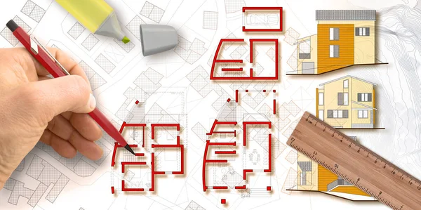
Architect Designs A New Residential Building With Floor Plans And Elevations Over An Imaginary City Map - Concept Image.
Image, 10.3MB, 6341 × 3168 jpg
Buildings Permit Concept With Imaginary Cadastral On Digital Tablet - Building Activity And Construction Industry With General Urban Plan
Image, 17.49MB, 5760 × 3840 jpg
Imaginary Cadastral Map Of Territory With Buildings, Roads And Land Parcel - Land Registry Concept Illustration - Note: The Map Background Is Totally Invented And Does Not Represent Any Real Place.
Image, 7.79MB, 5284 × 3520 jpg
Buildings Permit Concept With Imaginary Cadastral On Digital Tablet - Building Activity And Construction Industry With General Urban Plan
Image, 10.71MB, 5760 × 3840 jpg
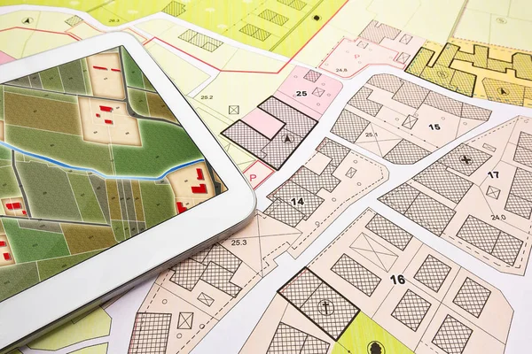
Updating Public Cadastral Digital Databases And Information About Land Registry - Concept Image With An Imaginary Cadastral Map Of Territory With Buildings, Roads And Land Parcel - Note: The Map Background Is Totally Invented And Does Not Represent A
Image, 30.91MB, 11261 × 7372 jpg
Real Estate Concept With An Imaginary Cadastral Map Of Territory With Buildings And Land
Image, 21.75MB, 7872 × 3168 jpg
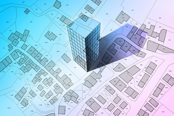
New Home And Free Vacant Land For Building Activity - Construction Industry Concept With A Residential Building, Imaginary Cadastral Map, General Urban Planning And Zoning Regulations
Image, 13.3MB, 5760 × 3840 jpg

Page 1 >> Next