Home
Images
Vectors
Videos
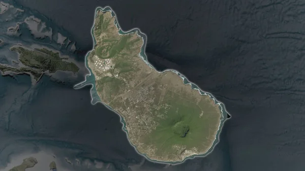
Stock image Barbuda - Antigua and Barbuda highlighted on a high resolution satellite map
Published:
Mar.15, 2024 17:05:55
Author:
zelwanka
Views:
0
Downloads:
0
File type:
image
/
jpg
File size:
1.37 MB
Orginal size:
2688
x
1512
px
Available sizes:
S
(500 x 281)
M
(1000 x 563)
L
(2000 x 1125)
XL
(2688 x 1512)
EL0
(2688 x 1512)
Level:
beginner
Download Image
Image topics:
Shape
Nature
Border
Contour
Earth
Planet
World
Ocean
Science
Capital
Imagery
Outline
Country
Map
Geography
Continent
Land
Zoom
Satellite
Region
Territory
Atlas
Highlighted
Overlay
Stereographic
North America
Codrington
Atg
Administrative Division
Barbuda Antigua And Barbuda
Similar stock images
Sint Eustatius Area Enlarged And Glowed On A Darkened Background Of Its Surroundings. Satellite Imagery
3840 × 2160
Sint Eustatius Area Enlarged And Glowed On A Darkened Background Of Its Surroundings. Satellite Imagery
3840 × 2160
Close-up Of The Sri Lanka Border Area And Its Regional Borders On A Satellite Map. Capital Point. Outline Around The Country Shape.
3840 × 2160
Comoros Highlighted On A Pale Colored Elevation Map With Lakes And Rivers
2688 × 1512
Sint Maarten Area Enlarged And Glowed On A Darkened Background Of Its Surroundings. Satellite Imagery
3840 × 2160
Sint Maarten Area Enlarged And Glowed On A Darkened Background Of Its Surroundings. Satellite Imagery
3840 × 2160
Malta. Close-up Perspective Of The Country - No Outline. Topographic Relief Map
2880 × 1620
Canary Islands - Spain Highlighted On A Pale Colored Elevation Map With Lakes And Rivers
2688 × 1512