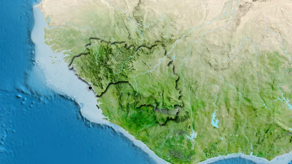
Stock image Burkina Faso and its neighborhood. Distant oblique perspective - no outline. color physical map

Published: Aug.21, 2020 13:00:44
Author: Yarr65
Views: 0
Downloads: 0
File type: image / jpg
File size: 4.2 MB
Orginal size: 2880 x 1620 px
Available sizes:
Level: bronze
Similar stock images


Benin And Its Neighborhood. Distant Oblique Perspective - No Outline. Color Physical Map
2880 × 1620

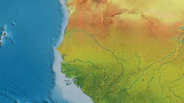
Burkina Faso And Its Neighborhood. Distant Oblique Perspective - No Outline. Satellite Imagery
2880 × 1620

Ghana And Its Neighborhood. Distant Oblique Perspective - No Outline. Color Physical Map
2880 × 1620

Sierra Leone Area On The Satellite C Map In The Stereographic Projection - Raw Composition Of Raster Layers
2880 × 1620