Home
Images
Vectors
Videos
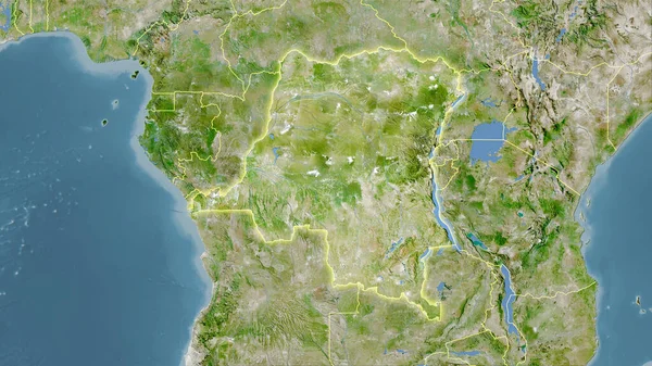
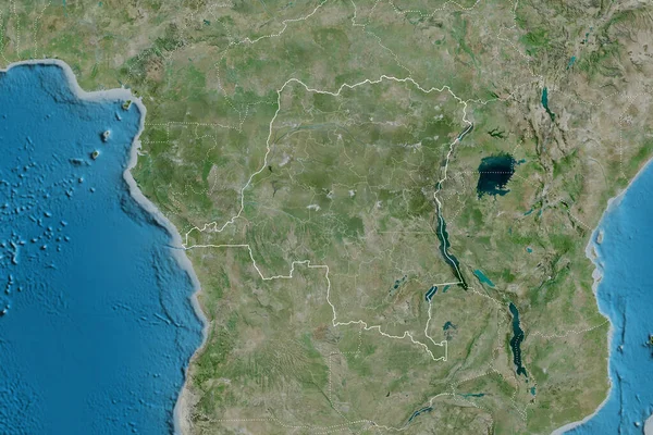
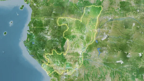
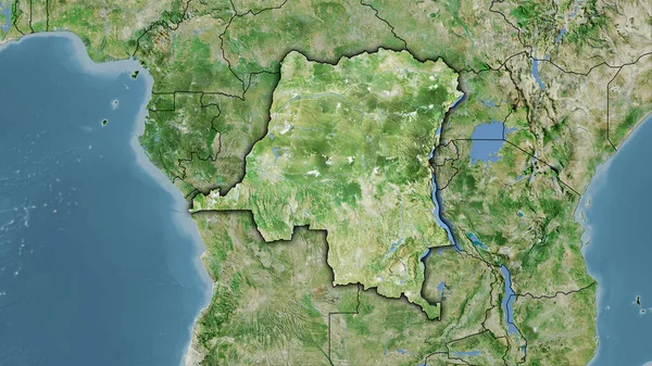
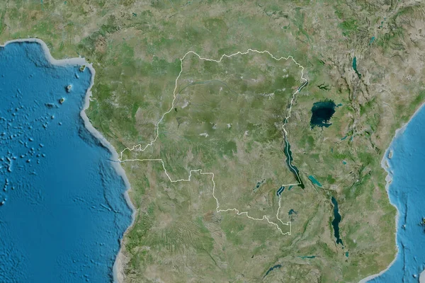
Stock image Congo Kinshasa area on the satellite D map in the stereographic projection - raw composition of raster layers with light glowing outline
Published:
Sep.16, 2020 09:32:57
Author:
Yarr65
Views:
0
Downloads:
0
File type:
image
/
jpg
File size:
6.46 MB
Orginal size:
2880
x
1620
px
Available sizes:
S
(500 x 281)
M
(1000 x 563)
L
(2000 x 1125)
XL
(2880 x 1620)
EL0
(2880 x 1620)
Level:
bronze
Download Image
Image topics:
Isolated
Shape
Nature
Texture
Sea
Border
Global
Earth
Planet
World
Science
Capital
Elevation
Outline
Country
Map
Geography
Area
Africa
Land
Political
Projection
Satellite
Shoreline
Territory
Atlas
Graticule
Kinshasa
Bumped
Cartographic
Stereographic
Bathymetry
Light Glow
Congo Kinshasa
Similar stock images
Congo Kinshasa Area On The Satellite A Map In The Stereographic Projection - Raw Composition Of Raster Layers With Light Glowing Outline
2880 × 1620
Extended Area Of Democratic Republic Of The Congo With Country Outline, International And Regional Borders. Satellite Imagery. 3D Rendering
3000 × 2000
Congo Brazzaville Area On The Satellite D Map In The Stereographic Projection - Raw Composition Of Raster Layers With Light Glowing Outline
2880 × 1620
Congo Kinshasa Area On The Satellite D Map In The Stereographic Projection - Raw Composition Of Raster Layers With Dark Glowing Outline
2880 × 1620
Extended Area Of Outlined Democratic Republic Of The Congo. Satellite Imagery. 3D Rendering
3000 × 2000
Congo Kinshasa Area On The Satellite C Map In The Stereographic Projection - Raw Composition Of Raster Layers With Light Glowing Outline
2880 × 1620
Congo Kinshasa Area On The Satellite D Map In The Stereographic Projection - Raw Composition Of Raster Layers
2880 × 1620
Congo Kinshasa Area On The Satellite B Map In The Stereographic Projection - Raw Composition Of Raster Layers With Light Glowing Outline
2880 × 1620