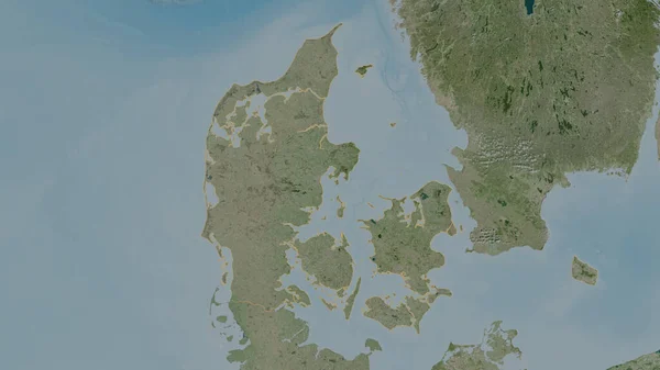
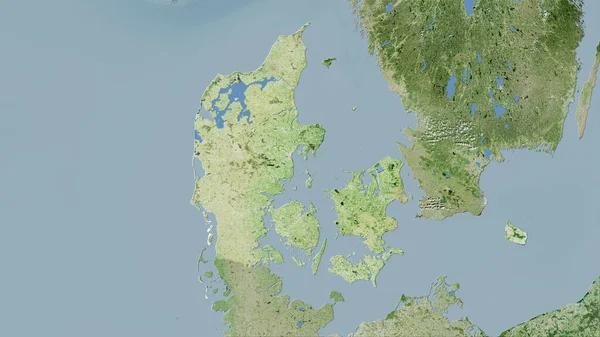
Stock image Denmark. Close-up perspective of the country - no outline. satellite imagery
Published: Aug.04, 2020 13:13:20
Author: Yarr65
Views: 0
Downloads: 0
File type: image / jpg
File size: 4.13 MB
Orginal size: 2880 x 1620 px
Available sizes:
Level: bronze
Similar stock images
Denmark Area On The Satellite D Map In The Stereographic Projection - Raw Composition Of Raster Layers
2880 × 1620