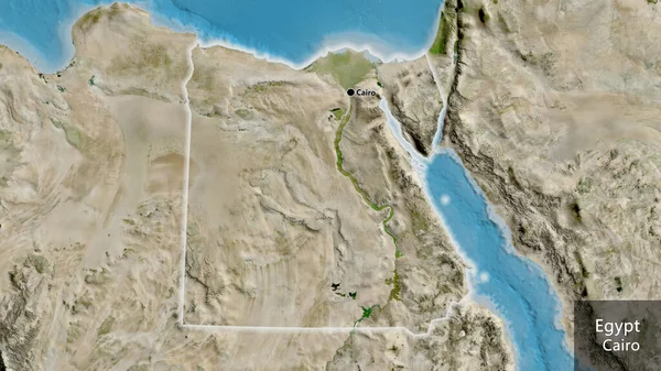
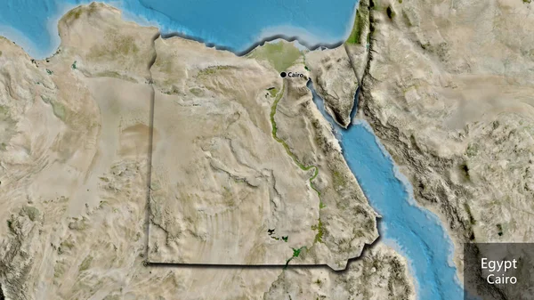
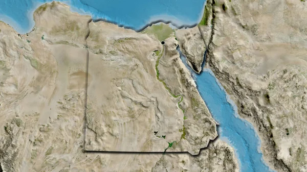
Stock image Egypt area on the satellite D map in the stereographic projection - main composition
Published: Sep.16, 2020 09:35:05
Author: Yarr65
Views: 0
Downloads: 0
File type: image / jpg
File size: 5.91 MB
Orginal size: 2880 x 1620 px
Available sizes:
Level: bronze
Similar stock images
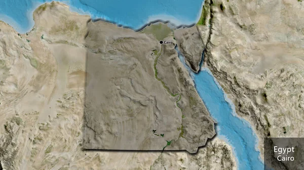
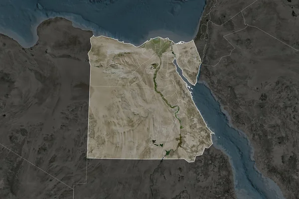
Egypt Area On The Satellite D Map In The Stereographic Projection - Raw Composition Of Raster Layers
2880 × 1620
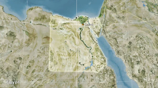
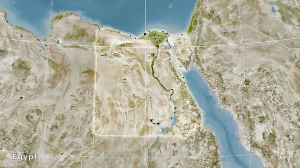
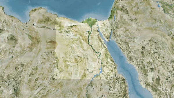
Close-up Of The Egypt Border Area On A Satellite Map. Capital Point. Bevelled Edges Of The Country Shape.
3840 × 2160