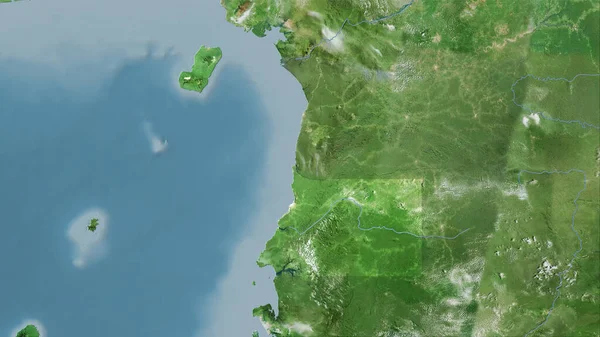
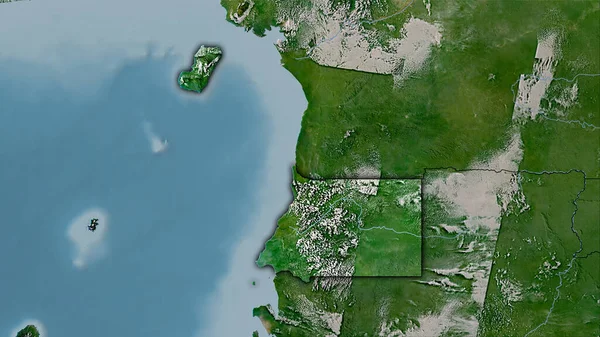
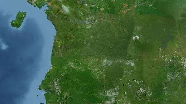
Stock image Equatorial Guinea area on the satellite B map in the stereographic projection - raw composition of raster layers

Published: Sep.16, 2020 07:45:09
Author: Yarr65
Views: 10
Downloads: 2
File type: image / jpg
File size: 3.99 MB
Orginal size: 2880 x 1620 px
Available sizes:
Level: bronze