Home
Images
Vectors
Videos
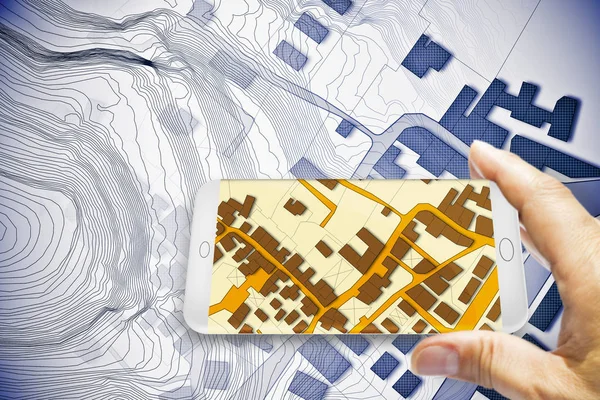
Stock image Hand holding a smartphone with an imaginary cadastral map of ter
Published:
Oct.02, 2019 06:57:36
Author:
Francescoscatena
Views:
22
Downloads:
2
File type:
image
/
jpg
File size:
11.6 MB
Orginal size:
4742
x
3161
px
Available sizes:
S
(500 x 333)
M
(1000 x 667)
L
(2000 x 1333)
XL
(4742 x 3161)
EL0
(4742 x 3161)
Level:
bronze
Download Image
Image topics:
Graphic
Parcel
Road
Building
City
Measure
Measurement
Planning
Street
Relief
Town
Engineering
Map
Cartography
Geography
Plan
Land
Engineer
Chart
Topography
Crossroad
Survey
Territory
Civil
Cartographer
Topographic
Surveying
Valuation
Contributions
Cartographic
Cadastre
3d Rendering
Residential District
Residential Building
Civil Engineering
City Street
Urban Road
Cadastral
Fractionation
Building Activity
Land Parcel
Cartographic Survey
Land Register
Cadastral Parcel
Cadastral Map
Cadastral Survey
Similar stock images
Imaginary Cadastral Map Of Territory With Buildings And Roads Drawn With A CAD (Computer-Aided-Design) Computer Software In Dwg Format File - Concept With Laptop
4742 × 3161
Pushing To Map
5616 × 3744
Techno Mega City; Urban And Futuristic Technology Concepts, Original 3d Rendering
6000 × 2000
Glass Tiles With Glass Rings
4096 × 4096
Abstract Plans
2016 × 2519
Touching Screen (with Clipping Path)
4000 × 2835
Black Background
4861 × 2333
3D Navigator Grey
4500 × 3000