photo free
Home Images Vectors Videos

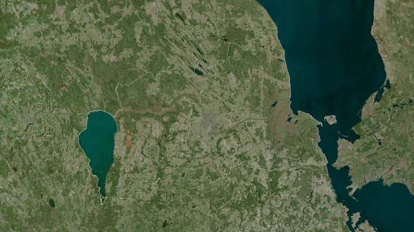
Stock image Ilha Maio in the North Atlantic Ocean on a satellite image taken in April 24, 2023

Stock image Ilha Maio in the North Atlantic Ocean on a satellite image taken in April 24, 2023
Published: Sep.11, 2024 14:52:02
Author: zelwanka
Views: 0
Downloads: 0
File type: image / jpg
File size: 4.71 MB
Orginal size: 2880 x 1620 px
Available sizes:
S
(500 x 281)
M
(1000 x 563)
L
(2000 x 1125)
XL
(2880 x 1620)
EL0
(2880 x 1620)
Level: beginner
Download Image
Image topics:

Similar stock images

stock image Friesland, province of Netherlands. High resolution satellite map

Friesland, Province Of Netherlands. High Resolution Satellite Map

3840 × 2880
stock image Noord-Holland, province of Netherlands. High resolution satellite map

Noord-Holland, Province Of Netherlands. High Resolution Satellite Map

3840 × 2880
stock image Barrow-in-Furness, non metropolitan district of England - Great Britain. High resolution satellite map

Barrow-in-Furness, Non Metropolitan District Of England - Great Britain. High Resolution Satellite Map

3840 × 2880
stock image satellite image of Wadden Sea coast, Germany

Satellite Image Of Wadden Sea Coast, Germany

4800 × 6720
stock image Norfolk, administrative county of England - Great Britain. Low resolution satellite map

Norfolk, Administrative County Of England - Great Britain. Low Resolution Satellite Map

3840 × 2880
stock image Essequibo Islands-West Demerara, region of Guyana. High resolution satellite map

Essequibo Islands-West Demerara, Region Of Guyana. High Resolution Satellite Map

3840 × 2880
stock image Southern Savonia, region of Finland. Low resolution satellite map

Southern Savonia, Region Of Finland. Low Resolution Satellite Map

3840 × 2880
stock image Tartu, county of Estonia. Satellite imagery. Shape outlined against its country area. 3D rendering

Tartu, County Of Estonia. Satellite Imagery. Shape Outlined Against Its Country Area. 3D Rendering

2880 × 1620