Home
Images
Vectors
Videos
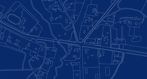
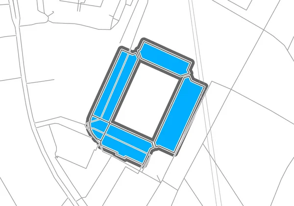
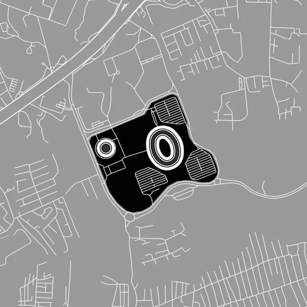
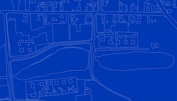
Stock image Imaginary cadastral map of territory of a rural area with buildings, roads, fields and land parcel.
Published:
Sep.08, 2022 08:36:10
Author:
Francescoscatena
Views:
9
Downloads:
1
File type:
image
/
jpg
File size:
10.83 MB
Orginal size:
9065
x
6414
px
Available sizes:
S
(500 x 354)
M
(1000 x 708)
L
(2000 x 1415)
XL
(9065 x 6414)
EL0
(9065 x 6414)
Level:
bronze
Download Image
Image topics:
Concepts
Ideas
Field
Rural
Technology
Position
Concept
Building
City
Construction
Planning
Relief
Town
Engineering
Map
Cartography
Plan
Land
Engineer
Topography
Place
Blueprint
Survey
Gps
Positioning
Territory
Surveyor
Cartographer
Topographic
Surveying
Geotagged
Cadastre
Rural Scene
Civil Engineering
Construction Industry
Cadastral
Fractionation
Building Activity
Cadastral Parcel
Cadastral Map
Cadastral Survey
Similar stock images
Imaginary Cadastral Map Of Territory With Buildings, Roads And Land Parcel - Concept Image With Digital Pixelation Effect
5994 × 3995
Abstract Map. Urban City Top View. Vector Blueprint.
7709 × 4167
Abstract Topographic Map On Radar Screen. Vector Retro Green Black Background.
8334 × 8334
Hamburg, Football Stadium, Outline Vector Map. The Bundesliga Statium Map Was Drawn With White Areas And Lines For Main Roads, Side Roads.
6400 × 4500
Map Of The City Of Grodno, Belarus
5525 × 3747
Nairobi, Baseball MLB Stadium, Outline Vector Map. The Baseball Statium Map Was Drawn With White Areas And Lines For Main Roads, Side Roads.
6400 × 6400
Part Of Urban Plan Of A Town And Lakes. Vector Abstract Topographic Map For Your Design.
7293 × 4168
Vector Abstract Topographic Map For Your Design. Blueprint.
13958 × 8333