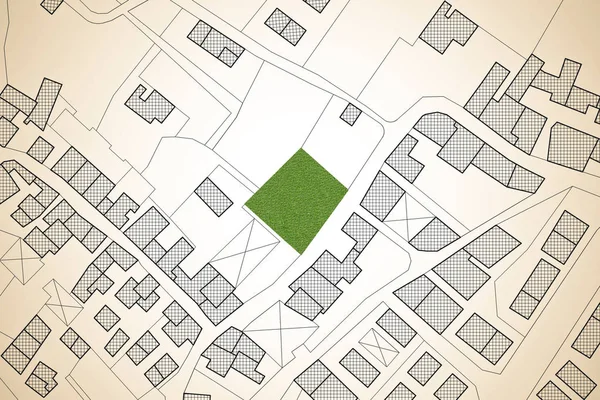
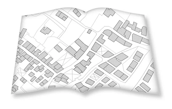
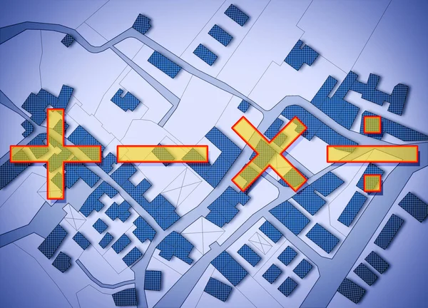
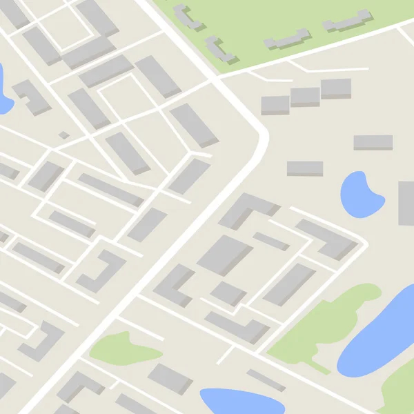
Stock image Imaginary cadastral map of territory with buildings, roads and land parcel - concept image with digital pixelation effect

Published: Oct.25, 2021 09:33:35
Author: Francescoscatena
Views: 1
Downloads: 0
File type: image / jpg
File size: 13.68 MB
Orginal size: 5994 x 3995 px
Available sizes:
Level: bronze