Home
Images
Vectors
Videos
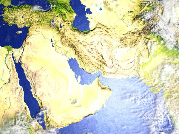
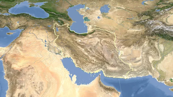
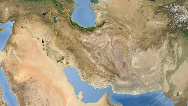
Stock image Iran outlined - High resolution satellite image
Published:
Aug.05, 2020 15:13:23
Author:
Yarr65
Views:
1
Downloads:
0
File type:
image
/
jpg
File size:
4.26 MB
Orginal size:
2880
x
1620
px
Available sizes:
S
(500 x 281)
M
(1000 x 563)
L
(2000 x 1125)
XL
(2880 x 1620)
EL0
(2880 x 1620)
Level:
bronze
Download Image
Image topics:
Shape
Nature
Texture
Sea
Border
Global
Earth
Planet
World
Ocean
Science
Globe
Elevation
Outline
Country
Map
Cartography
Geography
Area
Land
Aster
Asia
Political
Projection
Satellite
Shoreline
Tehran
Orthographic
Territory
Atlas
Nasa
Iran
Graticule
Bumped
Cartographic
Bathymetry
High Res
Blue Marble
Surface Waters
Similar stock images
Arab Peninsula On Realistic Model Of Earth
5000 × 3750
Iran And Its Neighborhood. Distant Oblique Perspective - Shape Outlined. Satellite Imagery
2880 × 1620
Iraq And Its Neighborhood. Distant Oblique Perspective - No Outline. Satellite Imagery
2880 × 1620
Arab Peninsula On Planet Earth
5000 × 3750
Iran And Pakistan Region On Earth - Visible Ocean Floor
5000 × 3750
Arab Peninsula On Realistic Model Of Earth
5000 × 3750
Satellite Map Centered On Jordan Neighborhood Area
3840 × 2160