Home
Images
Vectors
Videos
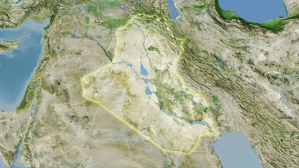
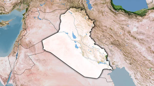
Stock image Iraq area on the satellite B map in the stereographic projection - main composition
Published:
Aug.28, 2020 10:19:55
Author:
Yarr65
Views:
0
Downloads:
0
File type:
image
/
jpg
File size:
5.26 MB
Orginal size:
2880
x
1620
px
Available sizes:
S
(500 x 281)
M
(1000 x 563)
L
(2000 x 1125)
XL
(2880 x 1620)
EL0
(2880 x 1620)
Level:
bronze
Download Image
Image topics:
Isolated
Shape
Nature
Texture
Sea
Border
Global
Earth
Planet
World
Science
Capital
Composition
Elevation
Outline
Country
Map
Geography
Area
Land
Asia
Political
Projection
Satellite
Iraq
Shoreline
Territory
Atlas
Baghdad
Graticule
Bumped
Cartographic
Stereographic
Bathymetry
Similar stock images
Iraq Area On The Satellite B Map In The Stereographic Projection - Raw Composition Of Raster Layers
2880 × 1620
Iraq Area On The Satellite C Map In The Stereographic Projection - Main Composition
2880 × 1620
Iraq Area On The Satellite D Map In The Stereographic Projection - Main Composition
2880 × 1620
Iraq Area On The Satellite D Map In The Stereographic Projection - Raw Composition Of Raster Layers With Light Glowing Outline
2880 × 1620
Iraq Outlined - High Resolution Satellite Image
2880 × 1620
Iraq Area On The Satellite C Map In The Stereographic Projection - Raw Composition Of Raster Layers With Dark Glowing Outline
2880 × 1620
Egypt Area On The Satellite B Map In The Stereographic Projection - Main Composition
2880 × 1620
Iraq Area On The Topographic Relief Map In The Stereographic Projection - Raw Composition Of Raster Layers With Dark Glowing Outline
2880 × 1620