Home
Images
Vectors
Videos
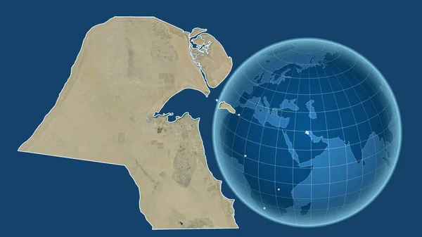
Stock image Kuwait. Globe with the shape of the country against zoomed map with its outline isolated on the blue background. satellite imagery
Published:
Jul.07, 2020 14:02:50
Author:
Yarr65
Views:
6
Downloads:
0
File type:
image
/
jpg
File size:
1.97 MB
Orginal size:
2880
x
1620
px
Available sizes:
S
(500 x 281)
M
(1000 x 563)
L
(2000 x 1125)
XL
(2880 x 1620)
EL0
(2880 x 1620)
Level:
bronze
Download Image
Image topics:
Isolated
Shape
Nature
Texture
Sea
Border
Global
Earth
Planet
World
Ocean
Science
Globe
Elevation
Outline
Country
Map
Cartography
Geography
Area
Land
Aster
Asia
Political
Projection
Satellite
Shoreline
Orthographic
Territory
Atlas
Nasa
Graticule
Kuwait
Bumped
Cartographic
Bathymetry
Kuwait City
Surface Waters
Similar stock images
Egypt. Globe With The Shape Of The Country Against Zoomed Map With Its Outline Isolated On The Blue Background. Satellite Imagery
2880 × 1620
Algeria. Globe With The Shape Of The Country Against Zoomed Map With Its Outline Isolated On The Blue Background. Satellite Imagery
2880 × 1620
Jordan. Globe With The Shape Of The Country Against Zoomed Map With Its Outline Isolated On The Blue Background. Topographic Relief Map
2880 × 1620
Western Sahara. Globe With The Shape Of The Country Against Zoomed Map With Its Outline. Satellite Imagery
2880 × 1620
Kuwait. Globe With The Shape Of The Country Against Zoomed Map With Its Outline. Satellite Imagery
2880 × 1620
Iraq. Globe With The Shape Of The Country Against Zoomed Map With Its Outline Isolated On The Blue Background. Satellite Imagery
2880 × 1620
Jordan. Globe With The Shape Of The Country Against Zoomed Map With Its Outline Isolated On The Blue Background. Satellite Imagery
2880 × 1620
Zoomed-in View Of Algeria Outline With Perspective Lines Against A Global Map In The Kavrayskiy Projection. Shape Centered. Satellite Imagery
2880 × 1620