Home
Images
Vectors
Videos
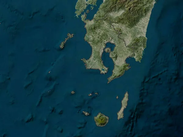
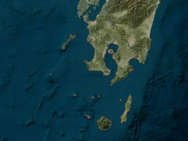
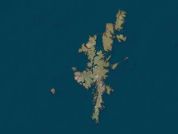
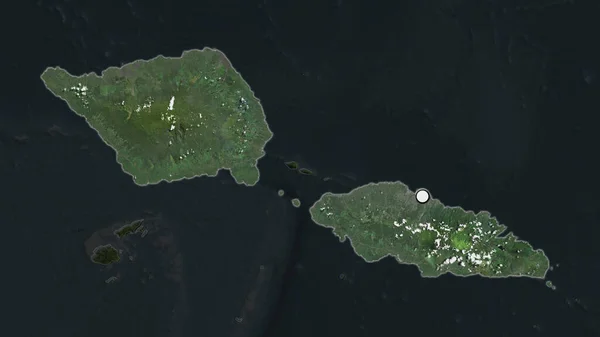
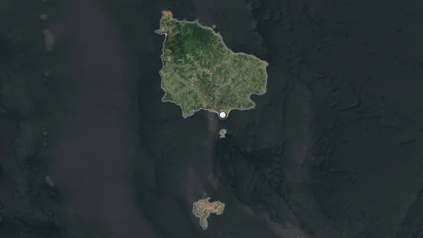
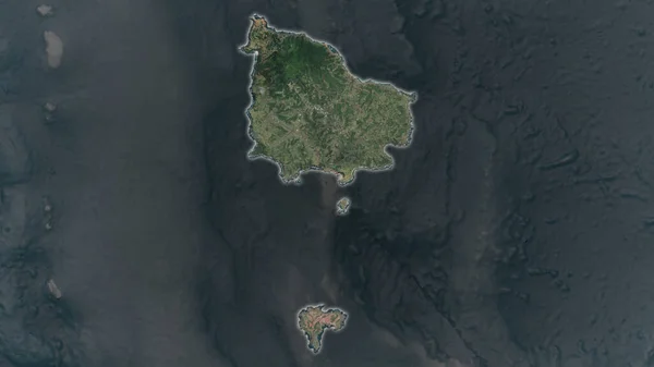
Stock image Linapacan Island in the Sulu Sea on a satellite image taken in March 23, 2020
Published:
Sep.11, 2024 14:18:29
Author:
zelwanka
Views:
0
Downloads:
0
File type:
image
/
jpg
File size:
5.25 MB
Orginal size:
2880
x
1620
px
Available sizes:
S
(500 x 281)
M
(1000 x 563)
L
(2000 x 1125)
XL
(2880 x 1620)
EL0
(2880 x 1620)
Level:
beginner
Download Image
Image topics:
Shape
Nature
Border
Contour
Earth
Planet
World
Ocean
Science
Imagery
Outline
Country
Map
Geography
Continent
Land
Zoom
Asia
Island
Satellite
Region
Territory
Atlas
Philippines
Luzon
Stereographic
Phl
Sulu Sea
Calamian Group Of Islands
Linapacan Island
Similar stock images
Kagoshima, Prefecture Of Japan. High Resolution Satellite Map
3840 × 2880
Kagoshima, Prefecture Of Japan. Low Resolution Satellite Map
3840 × 2880
Shetland Islands, Region Of Scotland - Great Britain. Low Resolution Satellite Map
3840 × 2880
The Highlighted Area Of Samoa With Capital Point On The Desaturated Map Of Its Neighbourhood. Satellite Imagery
2880 × 1620
The Highlighted Area Of American Samoa Tutuila With Capital Point On The Desaturated Map Of Its Neighbourhood. Satellite Imagery
2880 × 1620
The Highlighted Area Of Norfolk Island With Capital Point On The Desaturated Map Of Its Neighbourhood. Satellite Imagery
2880 × 1620
Norfolk Island Area Enlarged And Glowed On A Darkened Background Of Its Surroundings. Satellite Imagery
3840 × 2160
Norfolk Island Area Enlarged And Glowed On A Darkened Background Of Its Surroundings. Satellite Imagery
3840 × 2160