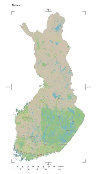
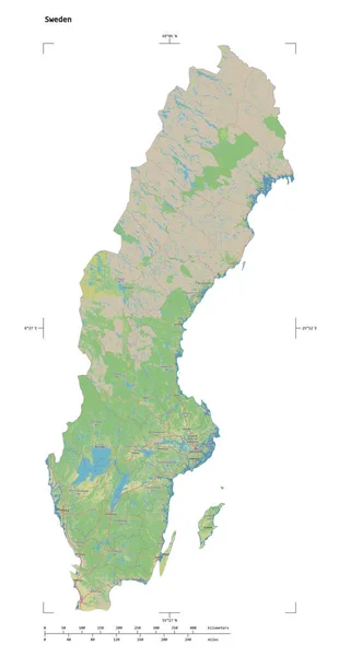
Stock image Marble Island in the The Coastal Waters of Southeast Alaska and British Columbia, belonging to United States, isolated on a topographic, OSM Humanitarian style map, with distance scale

Published: Sep.11, 2024 14:20:44
Author: zelwanka
Views: 0
Downloads: 0
File type: image / jpg
File size: 0.71 MB
Orginal size: 2160 x 2160 px
Available sizes:
Level: beginner