Home
Images
Vectors
Videos
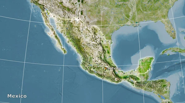
Stock image Mexico area on the satellite B map in the stereographic projection - main composition
Published:
Sep.23, 2020 10:47:49
Author:
Yarr65
Views:
1
Downloads:
0
File type:
image
/
jpg
File size:
4.9 MB
Orginal size:
2880
x
1620
px
Available sizes:
S
(500 x 281)
M
(1000 x 563)
L
(2000 x 1125)
XL
(2880 x 1620)
EL0
(2880 x 1620)
Level:
bronze
Download Image
Image topics:
Isolated
Shape
Nature
Texture
Sea
Border
Global
Earth
Planet
World
Science
Capital
Composition
Elevation
Outline
Country
Map
Geography
Area
Land
Political
Projection
Satellite
Shoreline
Territory
Mexico
Atlas
Graticule
Bumped
Cartographic
Stereographic
North America
Bathymetry
Mexico City
Similar stock images
Mexico Area On The Satellite C Map In The Stereographic Projection - Main Composition
2880 × 1620
Mexico Area On The Topographic Relief Map In The Stereographic Projection - Main Composition
2880 × 1620
Mexico Area On The Satellite A Map In The Stereographic Projection - Main Composition
2880 × 1620
Mexico Area On The Satellite D Map In The Stereographic Projection - Main Composition
2880 × 1620
Mexico And Its Neighborhood. Distant Oblique Perspective - Shape Outlined. Color Physical Map
2880 × 1620
Close-up Of The Mexico Border Area Highlighting With A Dark Overlay On A Satellite Map. Capital Point. Bevelled Edges Of The Country Shape. English Name Of The Country And Its Capital
3840 × 2160
Mexico Area On The Satellite B Map In The Stereographic Projection - Raw Composition Of Raster Layers With Light Glowing Outline
2880 × 1620
Mexico Area On The Satellite C Map In The Stereographic Projection - Raw Composition Of Raster Layers With Dark Glowing Outline
2880 × 1620