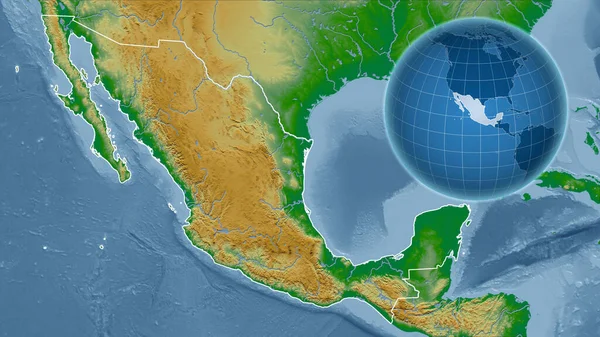
Stock image Mexico. Globe with the shape of the country against zoomed map with its outline. color physical map
Published: Aug.26, 2020 13:55:40
Author: Yarr65
Views: 0
Downloads: 0
File type: image / jpg
File size: 4.34 MB
Orginal size: 2880 x 1620 px
Available sizes:
Level: bronze
Similar stock images
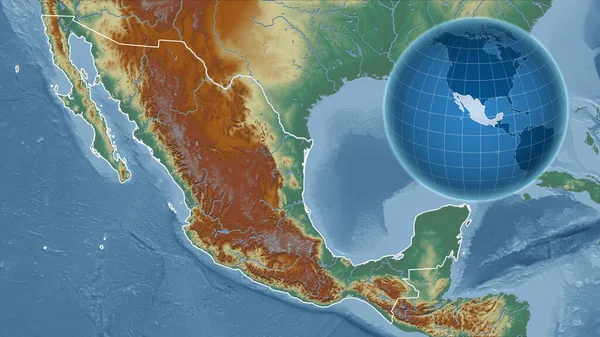
Mexico. Globe With The Shape Of The Country Against Zoomed Map With Its Outline. Topographic Relief Map
2880 × 1620

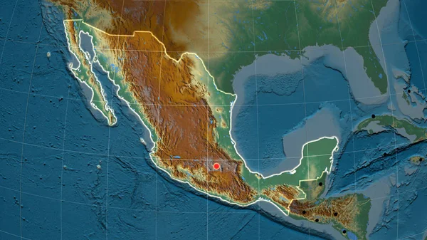
Mexico And Its Neighborhood. Distant Oblique Perspective - Shape Glowed. Color Physical Map
2880 × 1620

Mexico. Globe With The Shape Of The Country Against Zoomed Map With Its Outline. Satellite Imagery
2880 × 1620

Mexico. Globe With The Shape Of The Country Against Zoomed Map With Its Outline. Grayscale Elevation Map
2880 × 1620
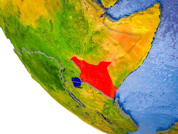
Kenya On Model Of Earth With Country Borders And Blue Oceans With Waves. 3D Illustration.
5000 × 3750

Mexico And Its Neighborhood. Distant Oblique Perspective - Shape Glowed. Satellite Imagery
2880 × 1620