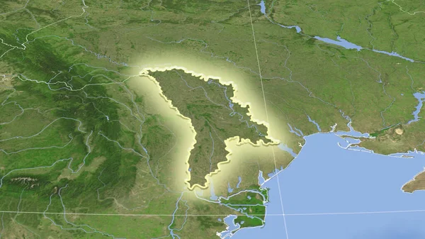
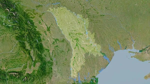
Stock image Moldova area on the satellite C map in the stereographic projection - raw composition of raster layers
Published: Sep.16, 2020 07:01:17
Author: Yarr65
Views: 1
Downloads: 0
File type: image / jpg
File size: 6.66 MB
Orginal size: 2880 x 1620 px
Available sizes:
Level: bronze
Similar stock images
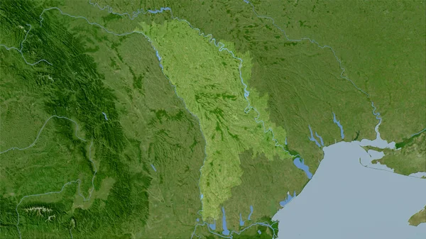
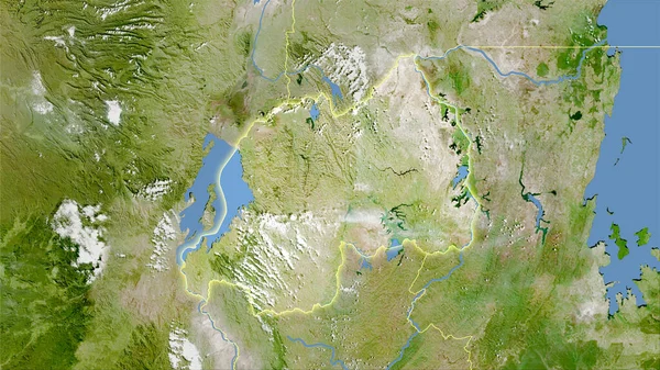
Moldova Area On The Satellite B Map In The Stereographic Projection - Raw Composition Of Raster Layers
2880 × 1620

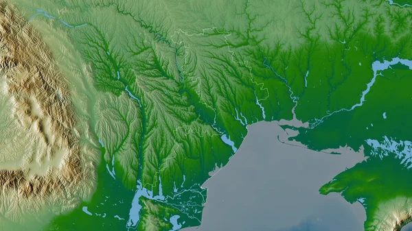
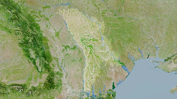
Moldova Area On The Satellite D Map In The Stereographic Projection - Raw Composition Of Raster Layers
2880 × 1620
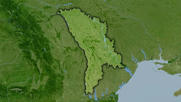
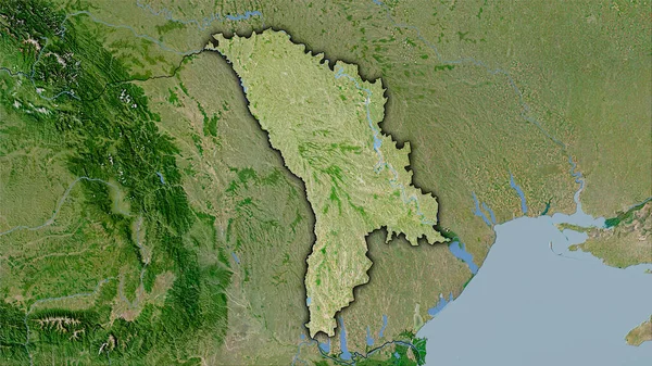
Moldova Area On The Satellite A Map In The Stereographic Projection - Raw Composition Of Raster Layers
2880 × 1620