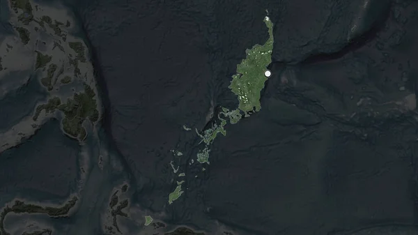
Stock image Palau area enlarged and glowed on a darkened background of its surroundings. Satellite imagery

Published: Jun.26, 2020 08:42:23
Author: Yarr65
Views: 0
Downloads: 0
File type: image / jpg
File size: 1.53 MB
Orginal size: 3840 x 2160 px
Available sizes:
Level: bronze
Similar stock images
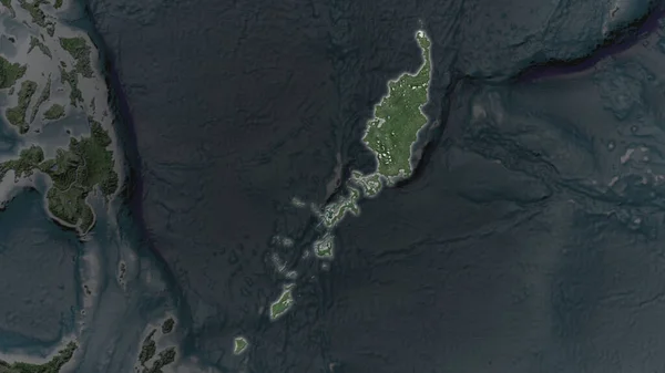
Palau Area Enlarged And Glowed On A Darkened Background Of Its Surroundings. Satellite Imagery
3840 × 2160

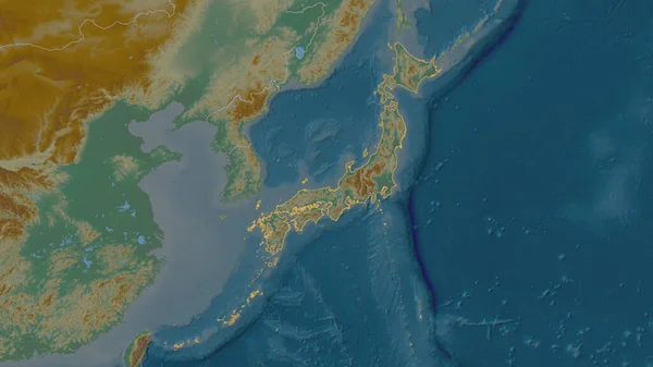
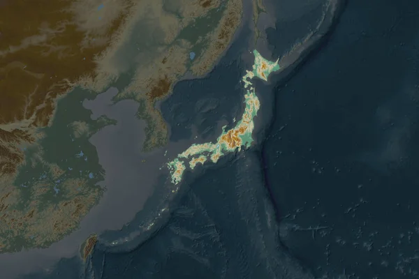
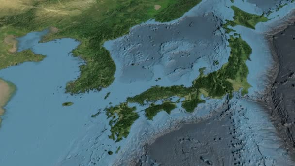
Outlined Shape Of The Japan Area. Topographic Relief Map With Surface Waters. 3D Rendering
3840 × 2160