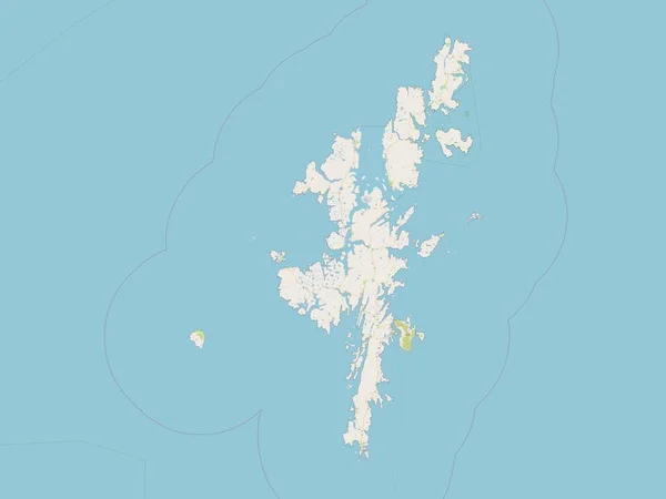
Stock image Palau outlined on a topographic, OSM Humanitarian style map

Published: Dec.28, 2023 14:06:39
Author: zelwanka
Views: 0
Downloads: 0
File type: image / jpg
File size: 0.57 MB
Orginal size: 2688 x 1512 px
Available sizes:
Level: beginner
Similar stock images


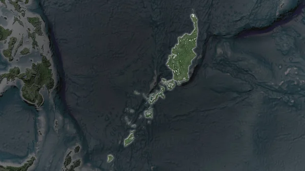
Palau Area Enlarged And Glowed On A Darkened Background Of Its Surroundings. Satellite Imagery
3840 × 2160