Home
Images
Vectors
Videos
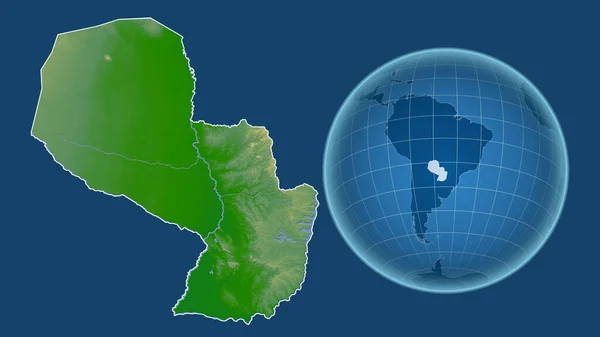
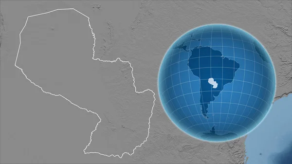
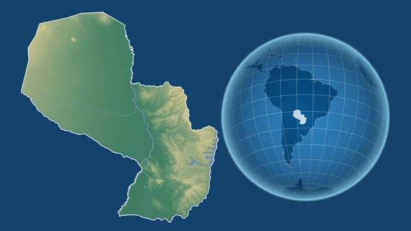
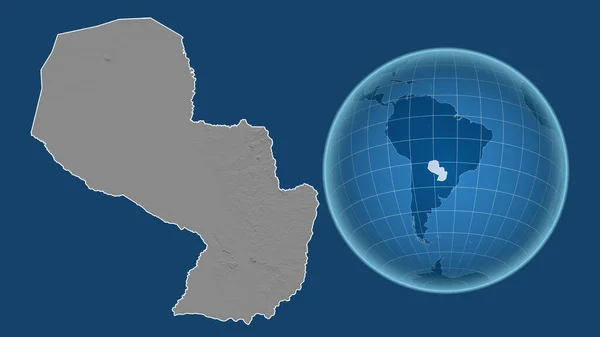
Stock image Paraguay. Globe with the shape of the country against zoomed map with its outline. grayscale elevation map
Published:
Aug.04, 2020 13:24:52
Author:
Yarr65
Views:
0
Downloads:
0
File type:
image
/
jpg
File size:
2.49 MB
Orginal size:
2880
x
1620
px
Available sizes:
S
(500 x 281)
M
(1000 x 563)
L
(2000 x 1125)
XL
(2880 x 1620)
EL0
(2880 x 1620)
Level:
bronze
Download Image
Image topics:
Isolated
Shape
Nature
Texture
Sea
Border
Global
Earth
Planet
World
Ocean
Science
Globe
Composition
Elevation
Outline
Country
Map
Cartography
Geography
Area
Land
Aster
Political
Projection
Shoreline
Orthographic
Grayscale
Territory
Atlas
Nasa
Paraguay
Graticule
Asuncion
Bumped
Cartographic
South America
Bathymetry
Surface Waters
Similar stock images
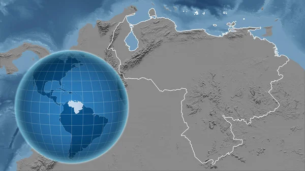
Venezuela. Globe With The Shape Of The Country Against Zoomed Map With Its Outline. Grayscale Elevation Map
2880 × 1620
Angola. Globe With The Shape Of The Country Against Zoomed Map With Its Outline. Color Physical Map
2880 × 1620
Guatemala. Globe With The Shape Of The Country Against Zoomed Map With Its Outline. Grayscale Elevation Map
2880 × 1620
Paraguay. Globe With The Shape Of The Country Against Zoomed Map With Its Outline Isolated On The Blue Background. Topographic Relief Map
2880 × 1620
Paraguay. Globe With The Shape Of The Country Against Zoomed Map With Its Outline Isolated On The Blue Background. Grayscale Elevation Map
2880 × 1620
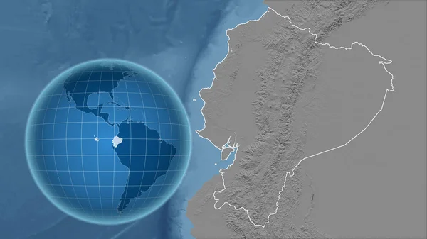
Ecuador. Globe With The Shape Of The Country Against Zoomed Map With Its Outline. Grayscale Elevation Map
2880 × 1620
Uruguay. Globe With The Shape Of The Country Against Zoomed Map With Its Outline. Grayscale Elevation Map
2880 × 1620
Paraguay. Globe With The Shape Of The Country Against Zoomed Map With Its Outline Isolated On The Blue Background. Color Physical Map
2880 × 1620