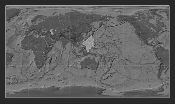
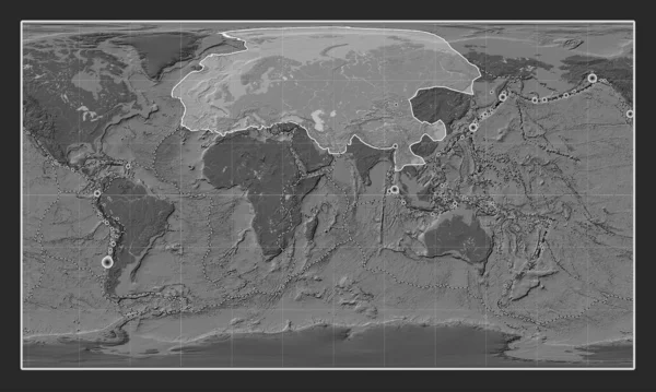
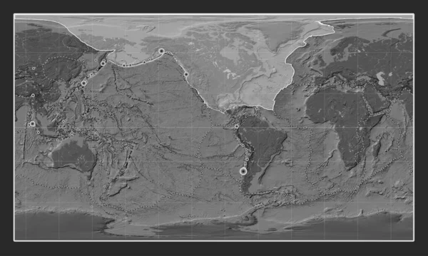
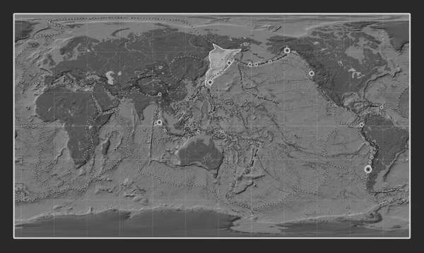
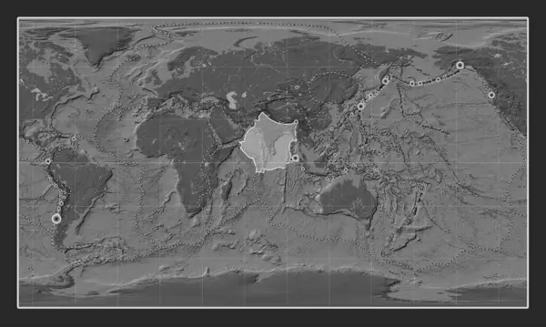
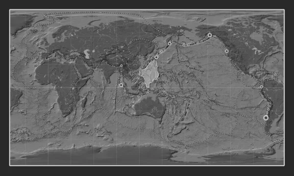
Stock image Philippine Sea tectonic plate on the bilevel elevation map in the Patterson Cylindrical projection centered meridionally. Locations of earthquakes above 6.5 magnitude recorded since the early 17th century
Published: Jul.24, 2023 13:09:34
Author: Yarr65
Views: 0
Downloads: 0
File type: image / jpg
File size: 6.77 MB
Orginal size: 4800 x 2878 px
Available sizes:
Level: bronze