photo free
Home Images Vectors Videos

Stock image Pulau Roon in the South Pacific Ocean, belonging to Indonesia, isolated on a satellite image taken in April 26, 2021, with distance scale

Stock image Pulau Roon in the South Pacific Ocean, belonging to Indonesia, isolated on a satellite image taken in April 26, 2021, with distance scale
Published: Sep.12, 2024 07:12:10
Author: zelwanka
Views: 0
Downloads: 0
File type: image / jpg
File size: 0.8 MB
Orginal size: 2160 x 2160 px
Available sizes:
S
(500 x 500)
M
(1000 x 1000)
L
(2000 x 2000)
XL
(2160 x 2160)
EL0
(2160 x 2160)
Level: beginner
Download Image
Image topics:

Similar stock images

stock image Pulau Banda Besar in the Banda Sea, belonging to Indonesia, isolated on a topographic, OSM Humanitarian style map, with distance scale

Pulau Banda Besar In The Banda Sea, Belonging To Indonesia, Isolated On A Topographic, OSM Humanitarian Style Map, With Distance Scale

2160 × 2160
stock image Pulau Roon in the South Pacific Ocean, belonging to Indonesia, isolated on a topographic, OSM Humanitarian style map, with distance scale

Pulau Roon In The South Pacific Ocean, Belonging To Indonesia, Isolated On A Topographic, OSM Humanitarian Style Map, With Distance Scale

2160 × 2160
stock image Pulau Komodo in the Savu Sea, belonging to Indonesia, isolated on a topographic, OSM Humanitarian style map, with distance scale

Pulau Komodo In The Savu Sea, Belonging To Indonesia, Isolated On A Topographic, OSM Humanitarian Style Map, With Distance Scale

2160 × 2160
stock image Fauro Island in the Solomon Sea, belonging to Solomon Islands, isolated on a satellite image taken in June 12, 2021, with distance scale

Fauro Island In The Solomon Sea, Belonging To Solomon Islands, Isolated On A Satellite Image Taken In June 12, 2021, With Distance Scale

2160 × 2160
stock image Tagapul-an Island in the Philippine Sea, belonging to Philippines, isolated on a topographic, OSM Humanitarian style map, with distance scale

Tagapul-an Island In The Philippine Sea, Belonging To Philippines, Isolated On A Topographic, OSM Humanitarian Style Map, With Distance Scale

2160 × 2160
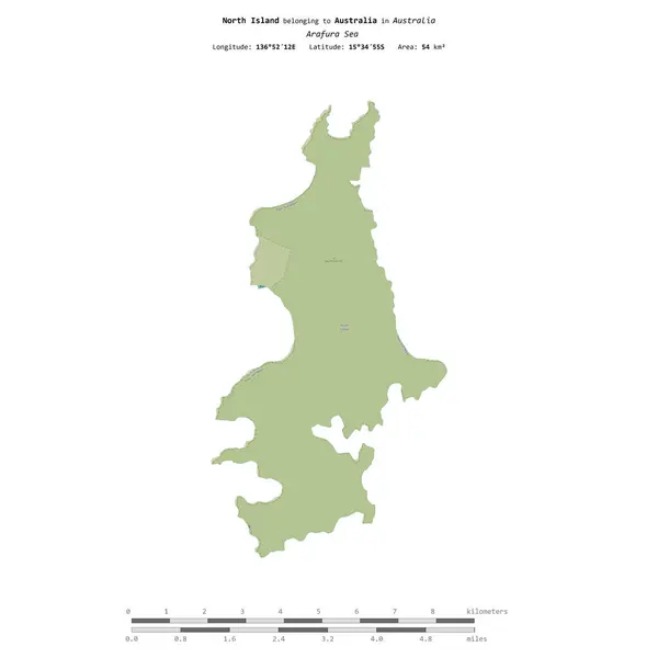
stock image North Island in the Arafura Sea, belonging to Australia, isolated on a topographic, OSM Humanitarian style map, with distance scale

North Island In The Arafura Sea, Belonging To Australia, Isolated On A Topographic, OSM Humanitarian Style Map, With Distance Scale

2160 × 2160
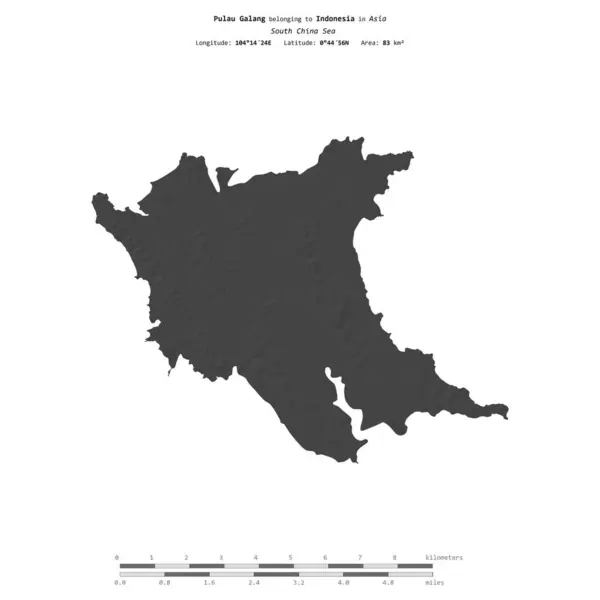
stock image Pulau Galang in the South China Sea, belonging to Indonesia, isolated on a bilevel elevation map, with distance scale

Pulau Galang In The South China Sea, Belonging To Indonesia, Isolated On A Bilevel Elevation Map, With Distance Scale

2160 × 2160
stock image Daram Island in the Philippine Sea, belonging to Philippines, isolated on a satellite image taken in June 16, 2017, with distance scale

Daram Island In The Philippine Sea, Belonging To Philippines, Isolated On A Satellite Image Taken In June 16, 2017, With Distance Scale

2160 × 2160