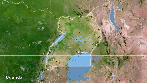
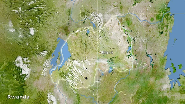
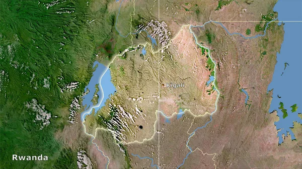
Stock image Rwanda area on the satellite C map in the stereographic projection - main composition
Published: Sep.16, 2020 07:01:17
Author: Yarr65
Views: 12
Downloads: 1
File type: image / jpg
File size: 6.75 MB
Orginal size: 2880 x 1620 px
Available sizes:
Level: bronze
Similar stock images


Physical Map Within The Rwanda Area In The Stereographic Projection With Legend - Main Composition
2880 × 1620