Home
Images
Vectors
Videos
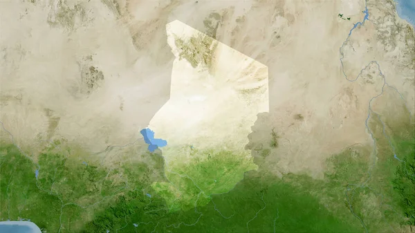
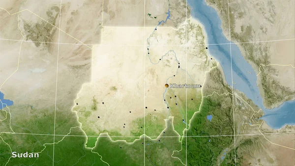
Stock image Sudan area on the satellite B map in the stereographic projection - raw composition of raster layers
Published:
Aug.21, 2020 09:09:38
Author:
Yarr65
Views:
0
Downloads:
0
File type:
image
/
jpg
File size:
5.41 MB
Orginal size:
2880
x
1620
px
Available sizes:
S
(500 x 281)
M
(1000 x 563)
L
(2000 x 1125)
XL
(2880 x 1620)
EL0
(2880 x 1620)
Level:
bronze
Download Image
Image topics:
Isolated
Shape
Nature
Texture
Sea
Border
Global
Earth
Planet
World
Science
Capital
Elevation
Outline
Country
Map
Geography
Area
Africa
Land
Political
Projection
Satellite
Shoreline
Territory
Atlas
Graticule
Sudan
Khartoum
Bumped
Cartographic
Stereographic
Bathymetry
Raw Data
Similar stock images
Sudan Area On The Satellite B Map In The Stereographic Projection - Raw Composition Of Raster Layers With Light Glowing Outline
2880 × 1620
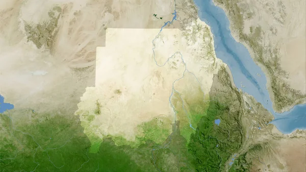
Sudan Area On The Satellite C Map In The Stereographic Projection - Raw Composition Of Raster Layers
2880 × 1620
Chad Area On The Satellite C Map In The Stereographic Projection - Main Composition
2880 × 1620
Sudan Area On The Satellite B Map In The Stereographic Projection - Main Composition
2880 × 1620
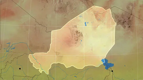
Niger Outlined On The Topographic Orthographic Map. Capital, Administrative Borders And Graticule
3840 × 2160
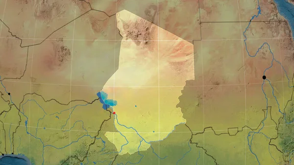
Chad Outlined On The Topographic Orthographic Map. Capital, Administrative Borders And Graticule
3840 × 2160
Chad Area On The Satellite B Map In The Stereographic Projection - Raw Composition Of Raster Layers
2880 × 1620
Close-up Of Asatellite Map Centered On Chad
3840 × 2160