
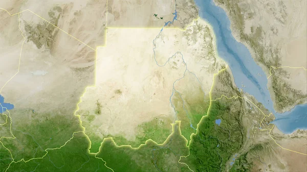
Stock image Sudan area on the satellite D map in the stereographic projection - raw composition of raster layers with dark glowing outline

Published: Sep.16, 2020 07:15:05
Author: Yarr65
Views: 0
Downloads: 0
File type: image / jpg
File size: 7.05 MB
Orginal size: 2880 x 1620 px
Available sizes:
Level: bronze
Similar stock images


Sudan Extruded On The Relief Orthographic Map. Capital, Administrative Borders And Graticule
3840 × 2160

