Home
Images
Vectors
Videos
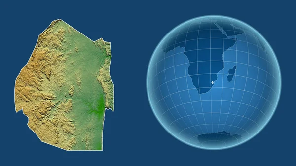
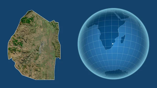
Stock image Swaziland. Globe with the shape of the country against zoomed map with its outline isolated on the blue background. topographic relief map
Published:
Aug.04, 2020 14:00:43
Author:
Yarr65
Views:
2
Downloads:
0
File type:
image
/
jpg
File size:
2.49 MB
Orginal size:
2880
x
1620
px
Available sizes:
S
(500 x 281)
M
(1000 x 563)
L
(2000 x 1125)
XL
(2880 x 1620)
EL0
(2880 x 1620)
Level:
bronze
Download Image
Image topics:
Isolated
Shape
Nature
Texture
Sea
Border
Global
Earth
Planet
World
Ocean
Science
Relief
Globe
Elevation
Outline
Country
Map
Cartography
Geography
Area
Africa
Land
Aster
Political
Projection
Shoreline
Orthographic
Territory
Atlas
Nasa
Graticule
Swaziland
Mbabane
Bumped
Cartographic
Bathymetry
Surface Waters
Similar stock images
Swaziland. Globe With The Shape Of The Country Against Zoomed Map With Its Outline Isolated On The Blue Background. Color Physical Map
2880 × 1620
Swaziland. Globe With The Shape Of The Country Against Zoomed Map With Its Outline Isolated On The Blue Background. Satellite Imagery
2880 × 1620
Swaziland. Globe With The Shape Of The Country Against Zoomed Map With Its Outline Isolated On The Blue Background. Grayscale Elevation Map
2880 × 1620
Somaliland. Globe With The Shape Of The Country Against Zoomed Map With Its Outline Isolated On The Blue Background. Topographic Relief Map
2880 × 1620
Algeria. Globe With The Shape Of The Country Against Zoomed Map With Its Outline Isolated On The Blue Background. Topographic Relief Map
2880 × 1620
Sri Lanka. Globe With The Shape Of The Country Against Zoomed Map With Its Outline Isolated On The Blue Background. Grayscale Elevation Map
2880 × 1620
Macedonia. Globe With The Shape Of The Country Against Zoomed Map With Its Outline Isolated On The Blue Background. Topographic Relief Map
2880 × 1620
Mauritius. Globe With The Shape Of The Country Against Zoomed Map With Its Outline Isolated On The Blue Background. Grayscale Elevation Map
2880 × 1620