photo free
Home Images Vectors Videos

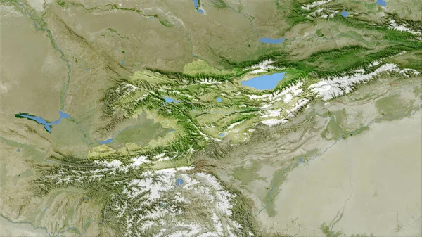
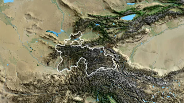
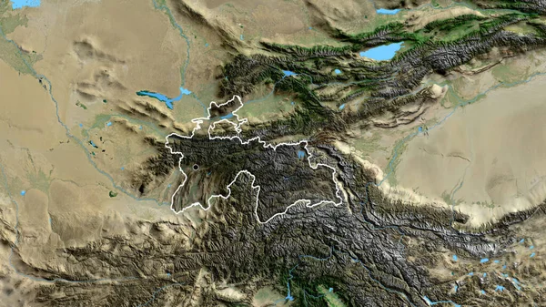
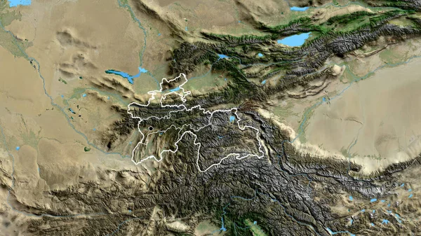
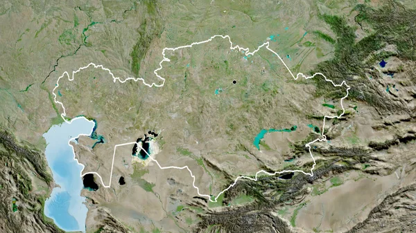
Stock image Tajikistan area on the satellite B map in the stereographic projection - raw composition of raster layers with light glowing outline

Stock image Tajikistan area on the satellite B map in the stereographic projection - raw composition of raster layers with light glowing outline
Published: Sep.16, 2020 07:12:37
Author: Yarr65
Views: 11
Downloads: 1
File type: image / jpg
File size: 6.35 MB
Orginal size: 2880 x 1620 px
Available sizes:
S
(500 x 281)
M
(1000 x 563)
L
(2000 x 1125)
XL
(2880 x 1620)
EL0
(2880 x 1620)
Level: bronze
Download Image
Image topics:

Similar stock images

stock image Kyrgyzstan area on the satellite B map in the stereographic projection - raw composition of raster layers

Kyrgyzstan Area On The Satellite B Map In The Stereographic Projection - Raw Composition Of Raster Layers

2880 × 1620
stock image Kyrgyzstan area on the satellite B map in the stereographic projection - raw composition of raster layers with light glowing outline

Kyrgyzstan Area On The Satellite B Map In The Stereographic Projection - Raw Composition Of Raster Layers With Light Glowing Outline

2880 × 1620
stock image Close-up of the Tajikistan border area highlighting with a dark overlay on a satellite map. Capital point. Glow around the country shape.

Close-up Of The Tajikistan Border Area Highlighting With A Dark Overlay On A Satellite Map. Capital Point. Glow Around The Country Shape.

3840 × 2160
stock image Tajikistan area on the satellite C map in the stereographic projection - raw composition of raster layers with dark glowing outline

Tajikistan Area On The Satellite C Map In The Stereographic Projection - Raw Composition Of Raster Layers With Dark Glowing Outline

2880 × 1620
stock image Close-up of the Tajikistan border area highlighting with a dark overlay on a satellite map. Capital point. Outline around the country shape.

Close-up Of The Tajikistan Border Area Highlighting With A Dark Overlay On A Satellite Map. Capital Point. Outline Around The Country Shape.

3840 × 2160
stock image Close-up of the Tajikistan border area and its regional borders on a satellite map. Capital point. Outline around the country shape.

Close-up Of The Tajikistan Border Area And Its Regional Borders On A Satellite Map. Capital Point. Outline Around The Country Shape.

3840 × 2160
stock image Bhutan area on the satellite B map in the stereographic projection - raw composition of raster layers with dark glowing outline

Bhutan Area On The Satellite B Map In The Stereographic Projection - Raw Composition Of Raster Layers With Dark Glowing Outline

2880 × 1620
stock image Close-up of the Kazakhstan border area on a satellite map. Capital point. Outline around the country shape.

Close-up Of The Kazakhstan Border Area On A Satellite Map. Capital Point. Outline Around The Country Shape.

3840 × 2160