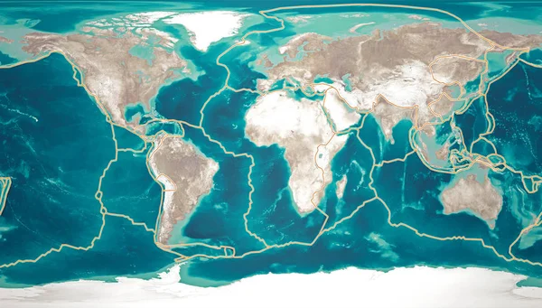
Stock image Tectonic plates move constantly, making new areas of ocean floor, building mountains, causing earthquakes, and creating volcanoes. 3d rendering. Map. Element of this image are furnished by Nasa
Published: May.07, 2019 08:24:44
Author: vampy1
Views: 95
Downloads: 21
File type: image / jpg
File size: 16.33 MB
Orginal size: 6675 x 3800 px
Available sizes:
Level: silver