Home
Images
Vectors
Videos
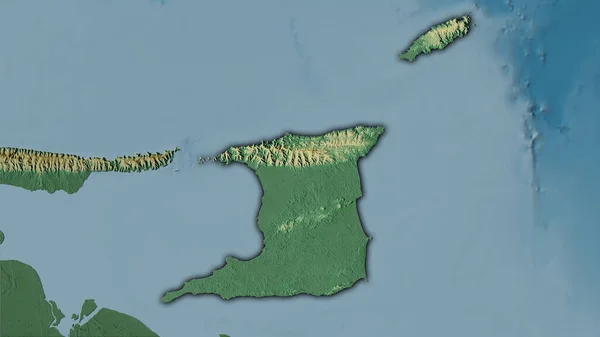
Stock image Trinidad and Tobago area on the topographic relief map in the stereographic projection - raw composition of raster layers with light glowing outline
Published:
Jul.10, 2020 12:41:34
Author:
Yarr65
Views:
0
Downloads:
0
File type:
image
/
jpg
File size:
2.22 MB
Orginal size:
2880
x
1620
px
Available sizes:
S
(500 x 281)
M
(1000 x 563)
L
(2000 x 1125)
XL
(2880 x 1620)
EL0
(2880 x 1620)
Level:
bronze
Download Image
Image topics:
Isolated
Shape
Nature
Texture
Sea
Border
Global
Earth
Planet
World
Science
Capital
Elevation
Outline
Country
Map
Geography
Area
Land
Political
Projection
Shoreline
Territory
Atlas
Graticule
Bumped
Cartographic
Stereographic
North America
Bathymetry
Trinidad And Tobago
Light Glow
Port Of Spain
Topographic Relief
Similar stock images
Trinidad And Tobago Area On The Topographic Relief Map In The Stereographic Projection - Raw Composition Of Raster Layers With Dark Glowing Outline
2880 × 1620
Trinidad And Tobago Area On The Topographic Relief Map In The Stereographic Projection - Raw Composition Of Raster Layers
2880 × 1620
Zoom In On West New Britain (province Of Papua New Guinea) Extruded. Oblique Perspective. Colored And Bumped Map Of The Administrative Division With Surface Waters. 3D Rendering
3840 × 2160
Zoom In On Pinar Del Rio (province Of Cuba) Outlined. Oblique Perspective. Satellite Imagery. 3D Rendering
3840 × 2160
Zoom In On East New Britain (province Of Papua New Guinea) Outlined. Oblique Perspective. Colored And Bumped Map Of The Administrative Division With Surface Waters. 3D Rendering
3840 × 2160
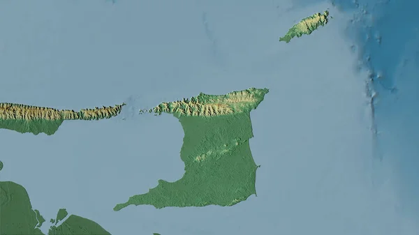
Trinidad And Tobago Area On The Topographic Relief Map In The Stereographic Projection - Main Composition
2880 × 1620
Iles Loyaute, Province Of New Caledonia. Elevation Map Colored In Wiki Style With Lakes And Rivers
3840 × 2880
Trinidad And Tobago Area On The Satellite D Map In The Stereographic Projection - Raw Composition Of Raster Layers With Light Glowing Outline
2880 × 1620