Home
Images
Vectors
Videos
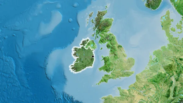
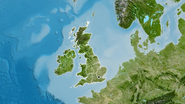
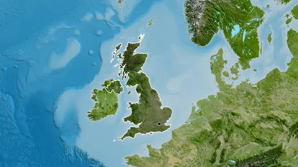
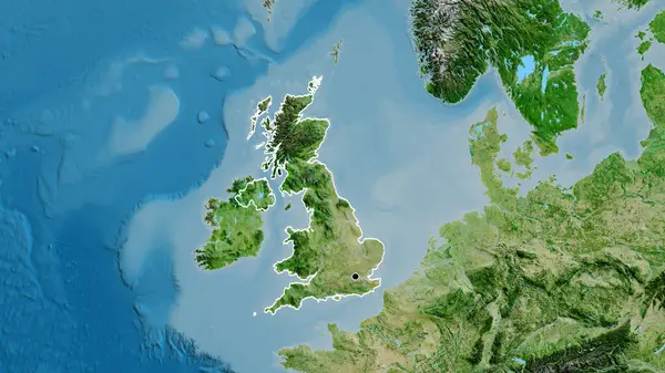
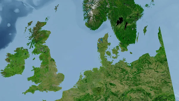
Stock image United Kingdom. Close-up perspective of the country - no outline. satellite imagery
Published:
Aug.28, 2020 10:13:10
Author:
Yarr65
Views:
0
Downloads:
0
File type:
image
/
jpg
File size:
5.15 MB
Orginal size:
2880
x
1620
px
Available sizes:
S
(500 x 281)
M
(1000 x 563)
L
(2000 x 1125)
XL
(2880 x 1620)
EL0
(2880 x 1620)
Level:
bronze
Download Image
Image topics:
Close Up
Isolated
Shape
Nature
Texture
Sea
Border
Global
Earth
Planet
World
Ocean
Science
Europe
Globe
Elevation
Outline
Country
Map
Cartography
Geography
Area
Land
Aster
Political
Projection
Satellite
London
Shoreline
Orthographic
Territory
Atlas
Nasa
Graticule
Bumped
Cartographic
United Kingdom
Bathymetry
No Outline
Surface Waters
Similar stock images
Close-up Of The Ireland Border Area Highlighting With A Dark Overlay On A Satellite Map. Capital Point. Glow Around The Country Shape.
3840 × 2160
Close-up Of The Ireland Border Area On A Satellite Map. Capital Point. Glow Around The Country Shape.
3840 × 2160
Close-up Of The United Kingdom Border Area And Its Regional Borders On A Satellite Map. Capital Point. Outline Around The Country Shape.
3840 × 2160
Close-up Of The United Kingdom Border Area On A Satellite Map. Capital Point. Outline Around The Country Shape.
3840 × 2160
Close-up Of The United Kingdom Border Area Highlighting With A Dark Overlay On A Satellite Map. Capital Point. Outline Around The Country Shape.
3840 × 2160
Close-up Of The United Kingdom Border Area Highlighting With A Dark Overlay On A Topographic Map. Capital Point. Outline Around The Country Shape.
3840 × 2160
Close-up Of The United Kingdom Border Area On A Satellite Map. Capital Point. Outline Around The Country Shape.
3840 × 2160
Close-up Of The United Kingdom Border Area On A Topographic Map. Capital Point. Glow Around The Country Shape.
3840 × 2160