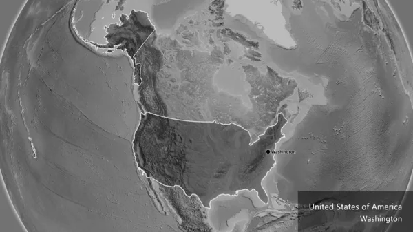
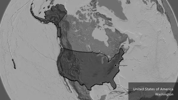
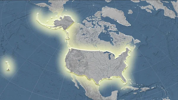
Stock image United States and its neighborhood. Distant oblique perspective - shape glowed. grayscale elevation map
Published: Aug.18, 2020 11:27:45
Author: Yarr65
Views: 4
Downloads: 1
File type: image / jpg
File size: 4.13 MB
Orginal size: 2880 x 1620 px
Available sizes:
Level: bronze