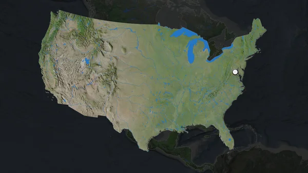
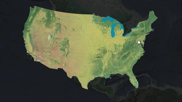
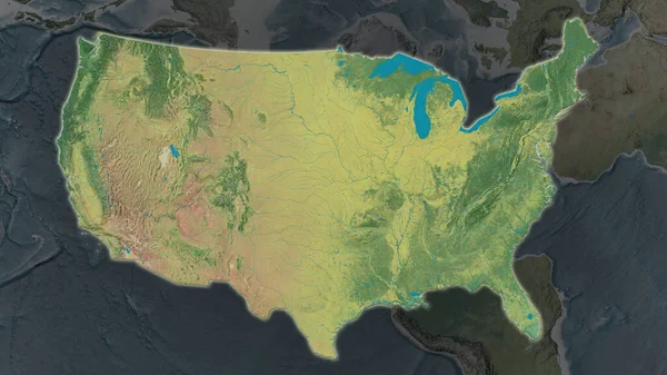
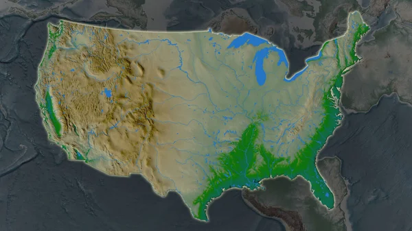
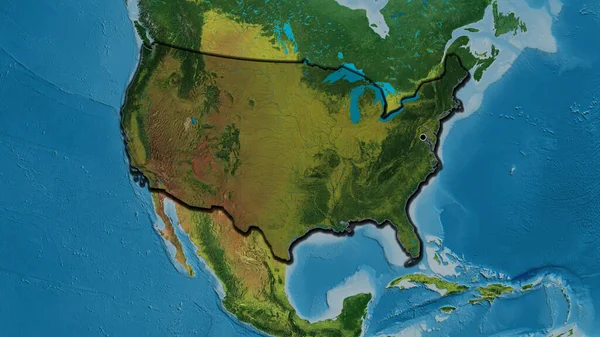
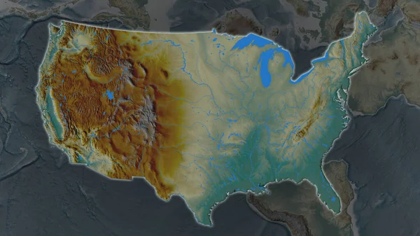
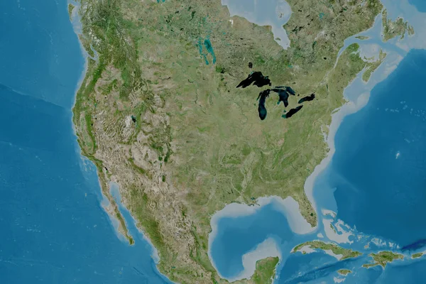
Stock image United States Mainland area enlarged and glowed on a darkened background of its surroundings. Satellite imagery

Published: Jun.19, 2020 13:24:29
Author: Yarr65
Views: 3
Downloads: 0
File type: image / jpg
File size: 2.9 MB
Orginal size: 3840 x 2160 px
Available sizes:
Level: bronze