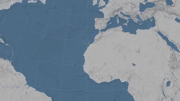
Stock image Western Sahara and its neighborhood. Distant oblique perspective - shape outlined. grayscale elevation map

Published: Jul.07, 2020 14:11:26
Author: Yarr65
Views: 0
Downloads: 0
File type: image / jpg
File size: 1.78 MB
Orginal size: 2880 x 1620 px
Available sizes:
Level: bronze
Similar stock images

Western Sahara And Its Neighborhood. Distant Oblique Perspective - Shape Glowed. Grayscale Elevation Map
2880 × 1620

Mauritania And Its Neighborhood. Distant Oblique Perspective - Shape Outlined. Grayscale Elevation Map
2880 × 1620

Western Sahara And Its Neighborhood. Distant Oblique Perspective - Shape Outlined. Color Physical Map
2880 × 1620