photo free
Home Images Vectors Videos

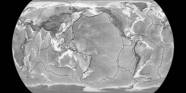
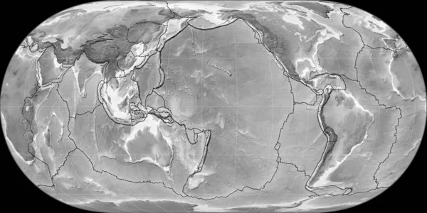
Stock image World map in the Apian projection centered on 90 East longitude. Grayscale elevation map - raw composite of raster with graticule. 3D illustration

Stock image World map in the Apian projection centered on 90 East longitude. Grayscale elevation map - raw composite of raster with graticule. 3D illustration
Published: Jul.07, 2020 14:12:48
Author: Yarr65
Views: 0
Downloads: 0
File type: image / jpg
File size: 3.56 MB
Orginal size: 4000 x 2000 px
Available sizes:
S
(500 x 250)
M
(1000 x 500)
L
(2000 x 1000)
XL
(4000 x 2000)
EL0
(4000 x 2000)
Level: bronze
Download Image
Image topics:

Similar stock images

stock image World map in the Apian projection centered on 90 West longitude. Grayscale elevation map - raw composite of raster with graticule. 3D illustration

World Map In The Apian Projection Centered On 90 West Longitude. Grayscale Elevation Map - Raw Composite Of Raster With Graticule. 3D Illustration

4000 × 2000
stock image World map in the Apian projection centered on 11 East longitude. Grayscale elevation map - raw composite of raster with graticule. 3D illustration

World Map In The Apian Projection Centered On 11 East Longitude. Grayscale Elevation Map - Raw Composite Of Raster With Graticule. 3D Illustration

4000 × 2000
stock image World map in the Apian projection centered on 170 West longitude. Grayscale elevation map - raw composite of raster with graticule. 3D illustration

World Map In The Apian Projection Centered On 170 West Longitude. Grayscale Elevation Map - Raw Composite Of Raster With Graticule. 3D Illustration

4000 × 2000
stock image World map in the Mollweide (Continents) projection centered on 0 East longitude. Grayscale elevation map - raw composite of raster with graticule. 3D illustration

World Map In The Mollweide (Continents) Projection Centered On 0 East Longitude. Grayscale Elevation Map - Raw Composite Of Raster With Graticule. 3D Illustration

4000 × 2000
stock image World map in the Canters Pseudocylindric projection centered on 170 West longitude. Grayscale elevation map - composite of raster with graticule and tectonic plates borders. 3D illustration

World Map In The Canters Pseudocylindric Projection Centered On 170 West Longitude. Grayscale Elevation Map - Composite Of Raster With Graticule And Tectonic Plates Borders. 3D Illustration

4000 × 2000
stock image World map in the Maurer Full Globular projection centered on 170 West longitude. Grayscale elevation map - composite of raster with graticule and tectonic plates borders. 3D illustration

World Map In The Maurer Full Globular Projection Centered On 170 West Longitude. Grayscale Elevation Map - Composite Of Raster With Graticule And Tectonic Plates Borders. 3D Illustration

4000 × 2000
stock image World map in the Hufnagel projection centered on 170 West longitude. Grayscale elevation map - composite of raster with graticule and tectonic plates borders. 3D illustration

World Map In The Hufnagel Projection Centered On 170 West Longitude. Grayscale Elevation Map - Composite Of Raster With Graticule And Tectonic Plates Borders. 3D Illustration

4000 × 2000
stock image World map in the Robinson projection centered on 170 West longitude. Grayscale elevation map - raw composite of raster with graticule. 3D illustration

World Map In The Robinson Projection Centered On 170 West Longitude. Grayscale Elevation Map - Raw Composite Of Raster With Graticule. 3D Illustration

4000 × 2000