Home
Images
Vectors
Videos
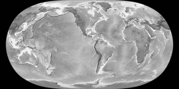
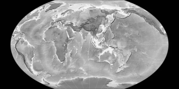
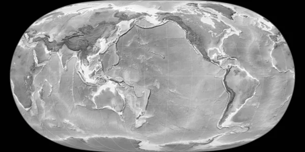
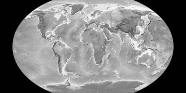
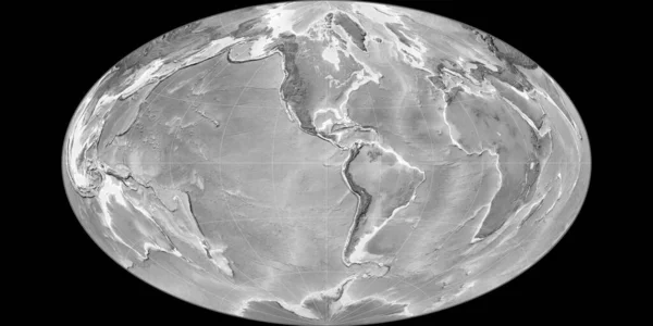
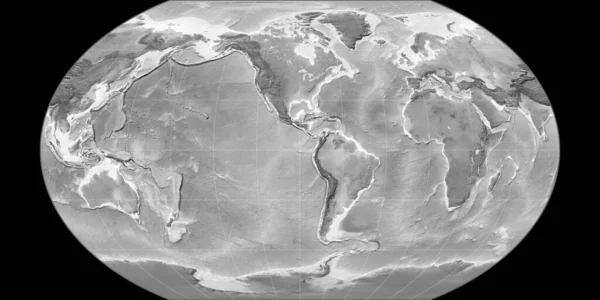
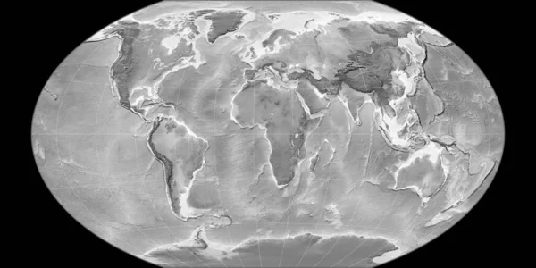
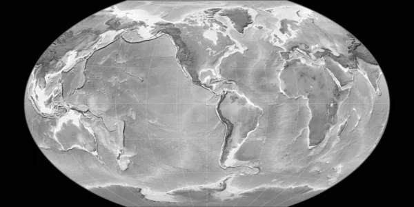
Stock image World map in the Winkel Tripel projection centered on 90 West longitude. Grayscale elevation map - raw composite of raster with graticule. 3D illustration
Published:
Aug.06, 2020 14:57:30
Author:
Yarr65
Views:
0
Downloads:
0
File type:
image
/
jpg
File size:
3.45 MB
Orginal size:
4000
x
2000
px
Available sizes:
S
(500 x 250)
M
(1000 x 500)
L
(2000 x 1000)
XL
(4000 x 2000)
EL0
(4000 x 2000)
Level:
bronze
Download Image
Image topics:
Space
Shape
Nature
Texture
Raw
Sea
Weather
Global
Earth
Planet
World
Science
Elevation
Outline
Geography
Area
Land
Climate
Ecosystem
Warming
Borders
Political
Projection
Shoreline
Grayscale
Territory
Atlas
Rift
Graticule
Bumped
Cartographic
Tectonics
3d Rendering
Bathymetry
3d Illustration
Global Map
Winkel Tripel
Similar stock images
World Map In The Natural Earth Projection Centered On 90 West Longitude. Grayscale Elevation Map - Raw Composite Of Raster With Graticule. 3D Illustration
4000 × 2000
World Map In The Robinson Projection Centered On 90 West Longitude. Grayscale Elevation Map - Raw Composite Of Raster With Graticule. 3D Illustration
4000 × 2000
World Map In The Winkel Tripel Projection Centered On 90 East Longitude. Grayscale Elevation Map - Raw Composite Of Raster With Graticule. 3D Illustration
4000 × 2000
World Map In The Natural Earth Projection Centered On 170 West Longitude. Grayscale Elevation Map - Raw Composite Of Raster With Graticule. 3D Illustration
4000 × 2000
World Map In The Kavraisky VII Projection Centered On 11 East Longitude. Grayscale Elevation Map - Raw Composite Of Raster With Graticule. 3D Illustration
4000 × 2000
World Map In The Gott Equal-Area Projection Centered On 90 West Longitude. Grayscale Elevation Map - Raw Composite Of Raster With Graticule. 3D Illustration
4000 × 2000
World Map In The Kavraisky VII Projection Centered On 90 West Longitude. Grayscale Elevation Map - Raw Composite Of Raster With Graticule. 3D Illustration
4000 × 2000
World Map In The Winkel Tripel Projection Centered On 11 East Longitude. Grayscale Elevation Map - Raw Composite Of Raster With Graticule. 3D Illustration
4000 × 2000