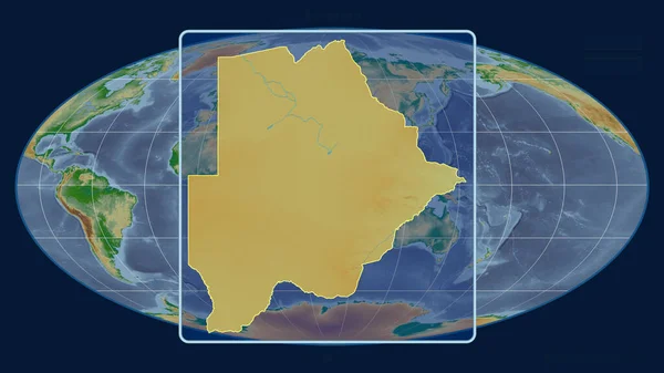
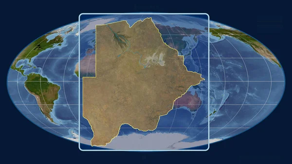
Stock image Zoomed-in view of Botswana outline with perspective lines against a global map in the Mollweide projection. Shape centered. satellite imagery
Published: Aug.06, 2020 14:55:29
Author: Yarr65
Views: 0
Downloads: 0
File type: image / jpg
File size: 2.99 MB
Orginal size: 2880 x 1620 px
Available sizes:
Level: bronze