Home
Images
Vectors
Videos
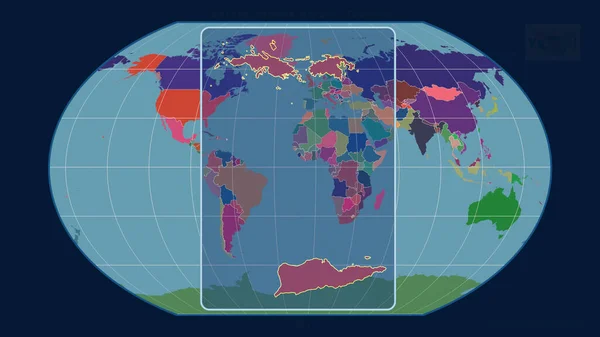
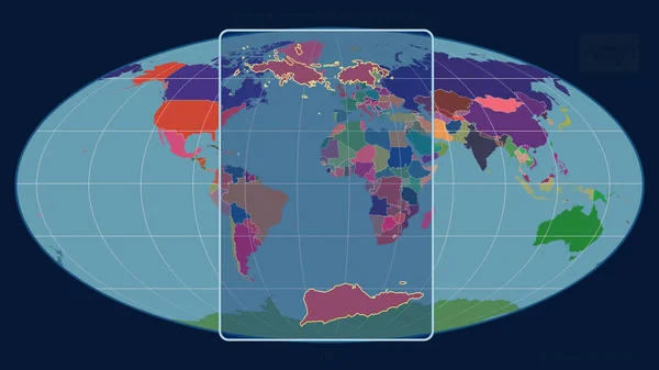
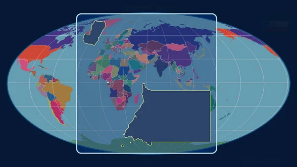
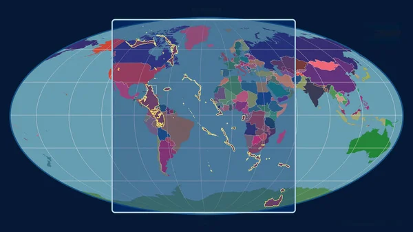
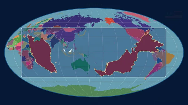
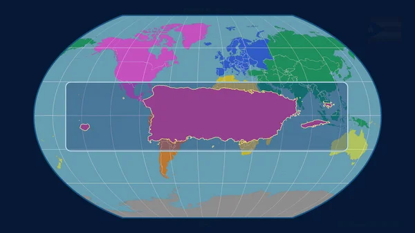
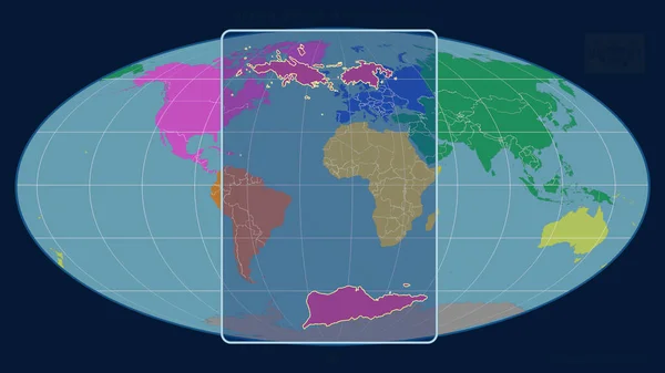
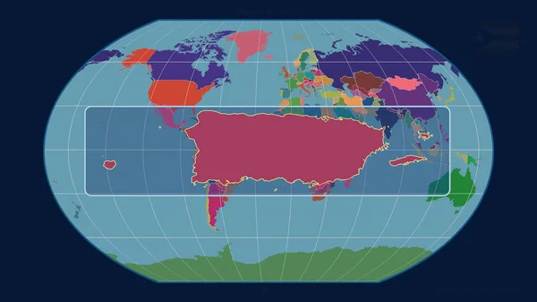
Stock image Zoomed-in view of Puerto Rico outline with perspective lines against a global map in the Kavrayskiy projection. Shape centered. color map of administrative divisions
Published:
Jun.26, 2020 07:58:26
Author:
Yarr65
Views:
0
Downloads:
0
File type:
image
/
jpg
File size:
1.45 MB
Orginal size:
2880
x
1620
px
Available sizes:
S
(500 x 281)
M
(1000 x 563)
L
(2000 x 1125)
XL
(2880 x 1620)
EL0
(2880 x 1620)
Level:
bronze
Download Image
Image topics:
Shape
Nature
Environment
Texture
Sea
Border
Global
Contour
Education
Earth
Planet
World
Ocean
Science
Globe
Elevation
Outline
Country
Map
Cartography
Geography
Area
Continent
Land
Topography
International
Explore
Administrative
Projection
Aerial
Satellite
Nations
Administration
Atlas
Nasa
Centered
Graticule
Bumped
Cartographic
North America
San Juan
Puerto Rico
Surface Waters
Kavrayskiy
Similar stock images
Zoomed-in View Of United States Virgin Islands Outline With Perspective Lines Against A Global Map In The Kavrayskiy Projection. Shape Centered. Color Map Of Administrative Divisions
2880 × 1620
Zoomed-in View Of United States Virgin Islands Outline With Perspective Lines Against A Global Map In The Mollweide Projection. Shape Centered. Color Map Of Administrative Divisions
2880 × 1620
Zoomed-in View Of Equatorial Guinea Outline With Perspective Lines Against A Global Map In The Mollweide Projection. Shape Centered. Color Map Of Administrative Divisions
2880 × 1620
Zoomed-in View Of Bahamas Outline With Perspective Lines Against A Global Map In The Mollweide Projection. Shape Centered. Color Map Of Administrative Divisions
2880 × 1620
Zoomed-in View Of Antigua And Barbuda Outline With Perspective Lines Against A Global Map In The Mollweide Projection. Shape Centered. Color Map Of Administrative Divisions
2880 × 1620
Zoomed-in View Of Malaysia Outline With Perspective Lines Against A Global Map In The Mollweide Projection. Shape Centered. Color Map Of Administrative Divisions
2880 × 1620
Zoomed-in View Of Puerto Rico Outline With Perspective Lines Against A Global Map In The Kavrayskiy Projection. Shape Centered. Color Map Of Continents
2880 × 1620
Zoomed-in View Of United States Virgin Islands Outline With Perspective Lines Against A Global Map In The Mollweide Projection. Shape Centered. Color Map Of Continents
2880 × 1620