Home
Images
Vectors
Videos
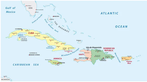
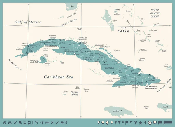
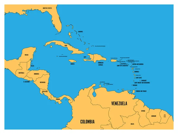
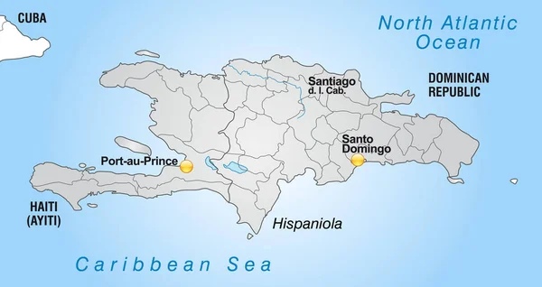
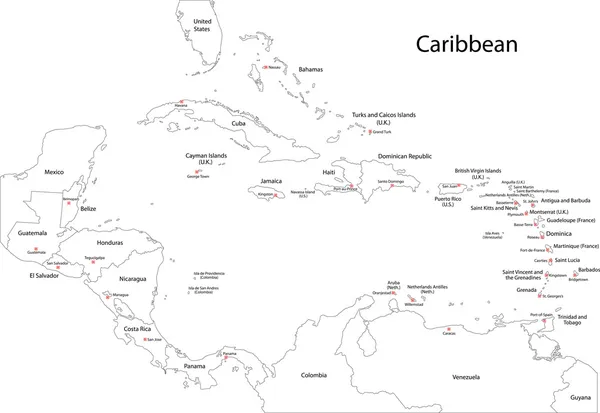
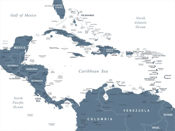
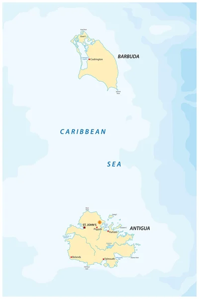
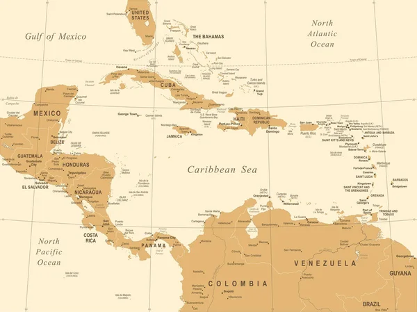
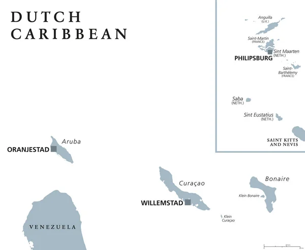
Stock vector Dutch Caribbean political map
Published:
Apr.19, 2017 11:26:11
Author:
Furian
Views:
89
Downloads:
1
File type:
vector
/
eps
File size:
2.63 MB
Orginal size:
8777
x
7227
px
Available sizes:
S
(500 x 412)
M
(1000 x 823)
L
(2000 x 1647)
XL
(8777 x 7227)
VECT
(8777 x 7227)
EL0
(8777 x 7227)
Level:
silver
Download Vector
Vector topics:
Vector
Illustration
Labeling
Travel
Gray
Netherlands
Capital
Country
Map
Cartography
Geography
Empire
Island
Destination
Caribbean
English
Territory
Atlas
Americas
Dutch
Lesser
Aruba
Curacao
Antilles
Saba
Maarten
Bonaire
Sint
Oranjestad
Willemstad
White Background
Lesser Antilles
Eustatius
Netherlands Antilles
Political Map
Philipsburg
Dutch Caribbean
Similar stock vectors
Political And Administrative Map Of The Lesser Antilles
5490 × 3100
Cuba Map - Vintage Detailed Vector Illustration
7576 × 5500
Central America And Carribean States Political Map. Yellow Land With Black Country Names Labels On Blue Sea Background. Simple Flat Vector Illustration
8000 × 6000
Map Of Hispaniola With Borders In Gray
5486 × 2917
Caribbean Map
6000 × 4132
Central America Map - Vector Illustration
7335 × 5500
Antigua And Barbuda Map
3100 × 4647
Central America Map - Vintage Vector Illustration
7334 × 5500