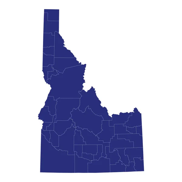
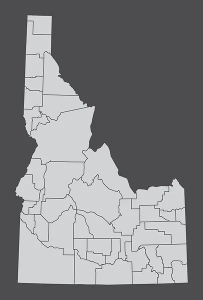
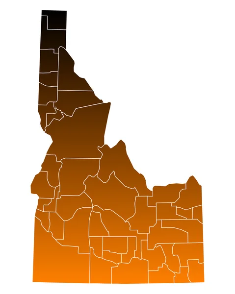
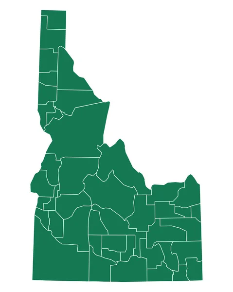
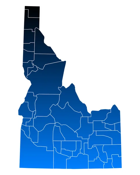
Stock vector Idaho, U.S. state, subdivided into 44 counties, gray political map with borders and county names. State in the Mountain West region of the United States, nicknamed The Gem State, or The Potato State.

Published: Aug.06, 2024 16:45:26
Author: Furian
Views: 0
Downloads: 0
File type: vector / eps
File size: 2.32 MB
Orginal size: 6000 x 8868 px
Available sizes:
Level: silver