Home
Images
Vectors
Videos
Stock vector Satellite map of Detroit, Michigan,United States. City streets. Street map and map of the city center
Published:
Jan.14, 2019 07:29:22
Author:
vampy1
Views:
119
Downloads:
5
File type:
vector
/
eps
File size:
12.82 MB
Orginal size:
6661
x
3997
px
Available sizes:
S
(500 x 300)
M
(1000 x 600)
L
(2000 x 1200)
XL
(6661 x 3997)
VECT
(6661 x 3997)
EL0
(6661 x 3997)
Level:
silver
Download Vector
Vector topics:
Vector
Background
Graphic
Design
Isolated
Sign
Travel
Transportation
Border
Traffic
Symbol
Architecture
Building
City
Urban
Information
Street
Attention
Highway
Landmark
Europe
South
Signboard
Outline
Country
District
Map
Houses
Warning
Housing
Buildings
Poster
Touristic
Destination
Welcome
Republic
Atlas
Democratic
Ministry
Michigan
Detroit
Wanderlust
United States
Aerial View
View From Above
City Map
Satellite Map
Similar stock vectors
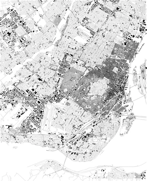
Map Of Montreal, Satellite View, Black And White Map. Street Directory And City Map. Canada
5623 × 6933
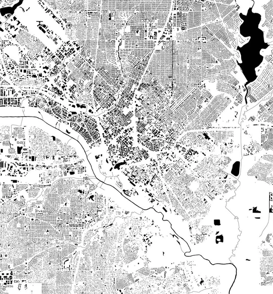
Satellite Map Of Philadelphia, Philly, Pennsylvania, City Streets. Street Map, City Center. Usa
5409 × 5600
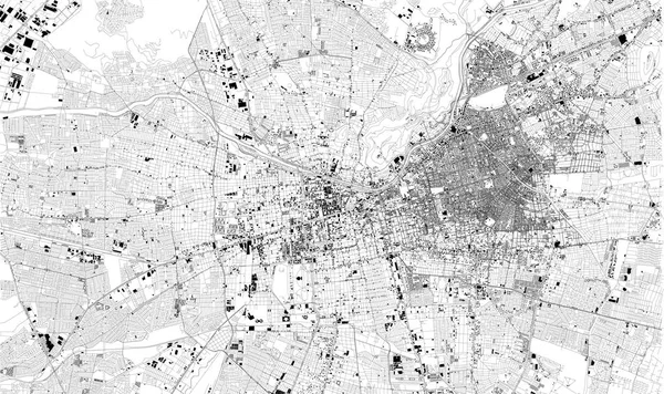
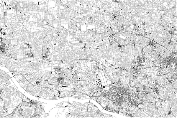
Satellite Map Of Santiago De Chile, Chile City Streets. Street Map, City Center. South America
6715 × 3995
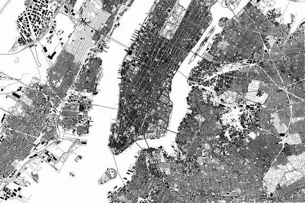
New York Map, Satellite View, The United States, Illustration, Houses, Neighborhoods And Streets
4227 × 2823
Map Of The City Of San Jose, California, USA
4191 × 4168
Streets Of Tokyo, City Map, Japan. Street Map House And Building
6427 × 4318
Satellite Map Of Minneapolis, Minnesota, Usa, City Streets. Street Map And Map Of The City Center.
6446 × 5992
Vector Map Of The City Of Dallas, Texas, USA
4168 × 4487