
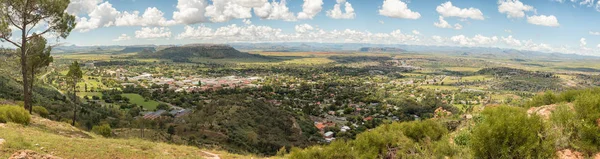
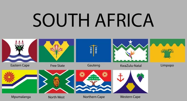
Stock image Free State Province

Corns Fields Ready To Be Harvested Near Koppies, A Town In The Free State Province Of South Africa
Image, 6.88MB, 3595 × 2400 jpg


BOTSHABELO, SOUTH AFRICA - MARCH 12, 2018: Panorama Of Businesses At The Mall In Botshabelo, A Town In The Mangaung Municipality Of The Free State Province
Image, 11.08MB, 7079 × 2400 jpg


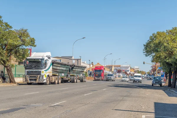

PARYS, SOUTH AFRICA, AUGUST 2, 2018: A Street Scene With Businesses, People And Vehicles, In Parys In The Free State Province
Image, 5.01MB, 3595 × 2400 jpg


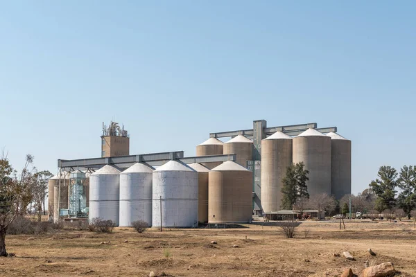
VREDEFORT, SOUTH AFRICA, AUGUST 2, 2018: Grain Silos In Vredefort In The Free State Province Province
Image, 4.89MB, 3595 × 2400 jpg

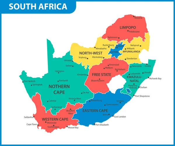
The Detailed Map Of South Africa With Regions Or States. Administrative Division
Vector, 0.55MB, 6000 × 5000 eps

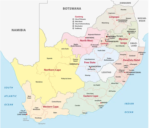
The Detailed Map Of South Africa With Regions Or States And Cities, Capital. Administrative Division
Vector, 1.02MB, 6000 × 5000 eps


The Detailed Map Of South Africa With Regions Or States. Administrative Division
Vector, 0.68MB, 6000 × 5000 eps
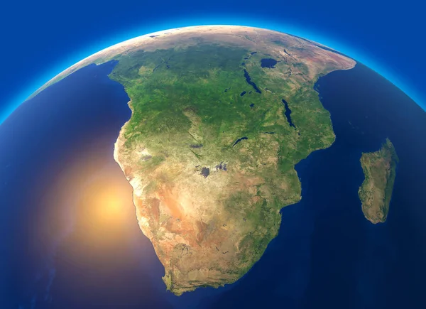
Physical Map Of The World, Satellite View Of South Africa. Globe. Hemisphere. Reliefs And Oceans. 3d Rendering. Element Of This Image Are Furnished By NASA
Image, 8.47MB, 5511 × 4000 jpg

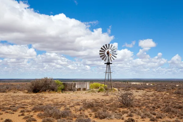


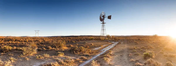
Close Up Image Of A Windpump / Windmill /windpomp Against A Bright Blue Sky In The Karoo Of South Africa
Image, 43.98MB, 11285 × 4116 jpg
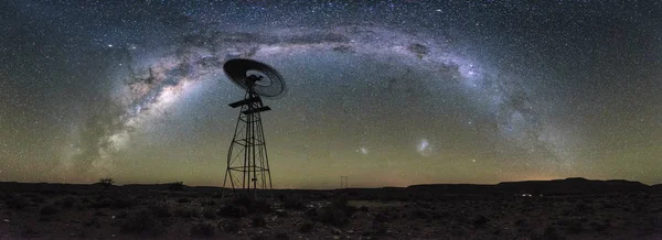
Close Up Image Of A Windpump / Windmill /windpomp Against A Bright Blue Sky In The Karoo Of South Africa
Image, 25.79MB, 9678 × 3673 jpg
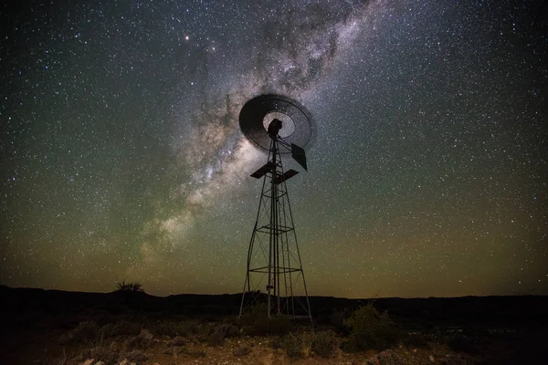
Close Up Image Of A Windpump / Windmill /windpomp Against A Bright Blue Sky In The Karoo Of South Africa
Image, 17.6MB, 5472 × 3648 jpg
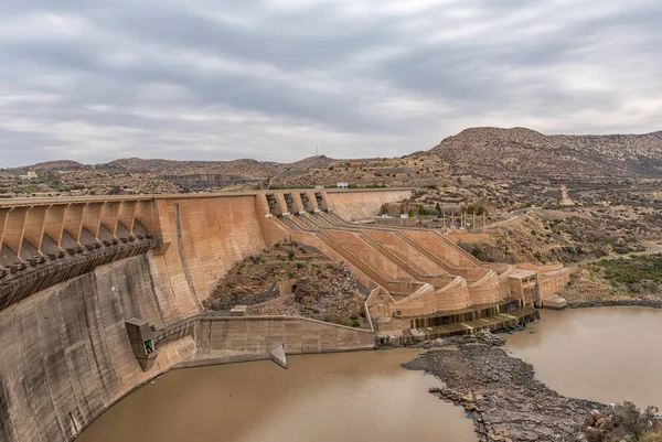
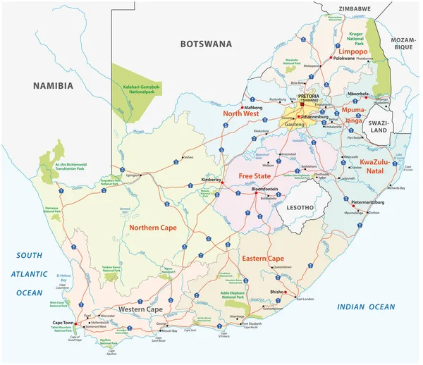
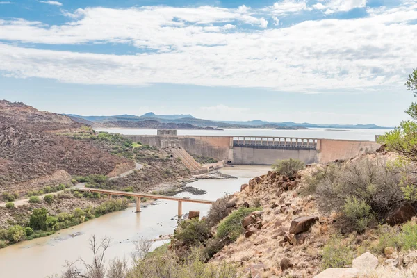
Wall Of The Vanderkloof Dam In The Orange River On The Border Of The Free State And Northern Cape Provinces
Image, 5.53MB, 3591 × 2400 jpg


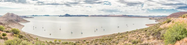
Panoramic Sterkfontein Dam And Nature Reserve In Drakensberg Area Free State
Image, 13.93MB, 6016 × 4000 jpg


Symbol Map Of The Province Free State (South Africa). Abstract Map Showing The State/province With Horizontal Parallel Lines In Rainbow Colors
Vector, 0.58MB, 6000 × 5133 eps
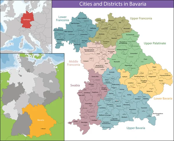
Neumarkt District (Federal Republic Of Germany, Rural District Upper Palatinate, Free State Of Bavaria) Map Vector Illustration, Scribble Sketch Neumarkt Map
Vector, 1.23MB, 7087 × 4726 eps

Isolated Waving Flag Of Free State Is A Province South Africa On White Background.
Vector, 7.84MB, 6400 × 4000 eps

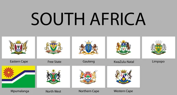
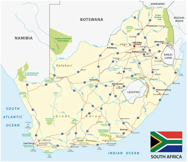
South Africa, Political Map With Provinces, Largest Cities, International And Administrative Borders. Republic And Southernmost Country In Africa, With Capitals Pretoria, Cape Town And Bloemfontein.
Vector, 3.11MB, 6000 × 6000 eps

Symbol Map Of The Province Free State (South Africa). Abstract Map Showing The State/province With A Pattern Of Overlapping Colorful Squares Like Candies
Vector, 0.71MB, 6000 × 5133 eps

Bad Tolz-Wolfratshausen District (Federal Republic Of Germany, Rural District Upper Bavaria, Free State Of Bavaria) Map Vector Illustration, Scribble Sketch Bad Tolz Wolfratshausen Map
Vector, 0.83MB, 7087 × 4726 eps

Page 1 >> Next