
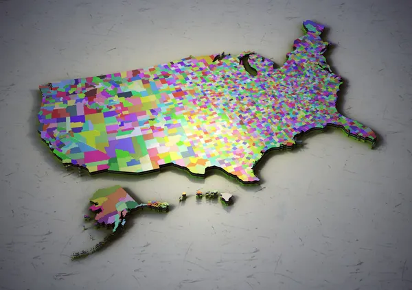
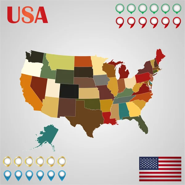
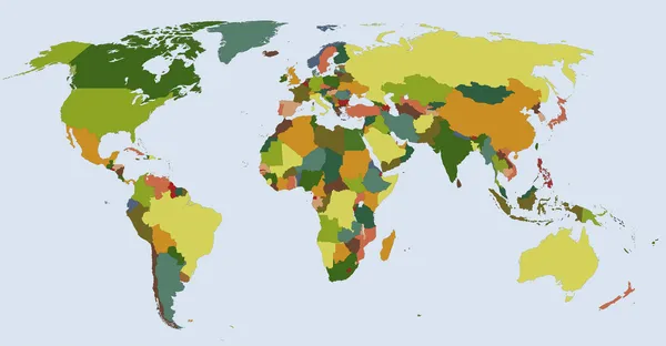
Stock image All States Map

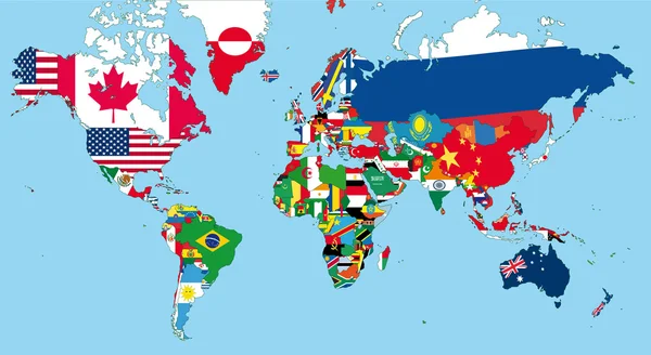

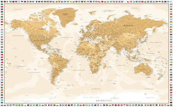
Vector High Detailed Illustration Of Map Of The World Jointed With Countries Flags
Vector, 14.29MB, 8334 × 4233 eps
United States Of America Color Map Isolated. USA Vector Illustration. Funny Drawing Color Territory Print. Country Poster With States For Travel Materials And Education. Cartoon Style Image.
Vector, 1.99MB, 6500 × 4179 eps
United States Of America Drawing Linear Art Map. USA Vector Illustration. Chalk Drawing Territory Print. Country Poster With States For Travel Materials And Education. Cartoon Style Image Hand Drawn.
Vector, 3.98MB, 6500 × 4179 eps
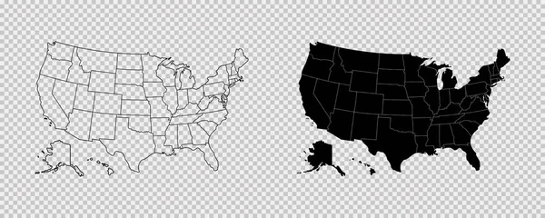
United States Map. High Detailed USA Map. Linear Icon. Transparent Background. Vector Isolated Elements. Usa Map Icon Line Symbol.
Vector, 1.43MB, 10417 × 4167 eps


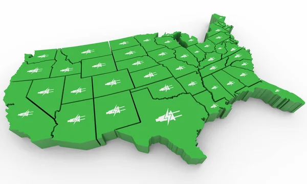
Green Clean Energy Electricity Power USA United States Map 3d Illustration
Image, 6.83MB, 5000 × 3000 jpg
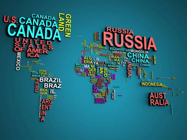
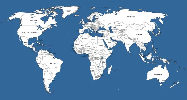
The World Map With All States And Their Names 3d Illustration On Blue
Image, 26.14MB, 6000 × 4500 jpg


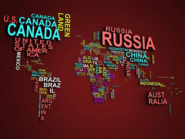
The World Map With All States And Their Names 3d Illustration On Red
Image, 19.44MB, 6000 × 4500 jpg


The World Map With All States And Their Names 3d Illustration On Red
Image, 20.35MB, 6000 × 4500 jpg

The World Map With All States And Their Names 3d Illustration On Red
Image, 14.04MB, 6000 × 4500 jpg
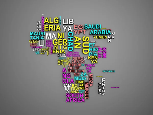
The Africa Map With All States And Their Names 3d Illustration On Grey
Image, 11.76MB, 6000 × 4500 jpg
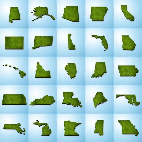
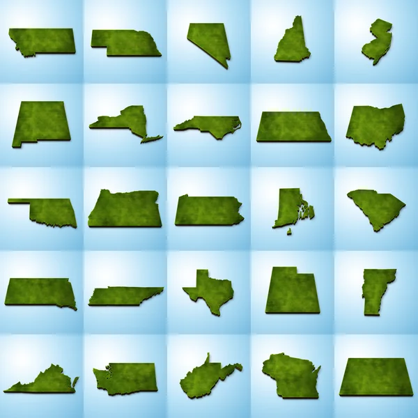
All 50 USA States Map Pixel Perfect Icons (Filled Style). Vector Icons Of The Complete United States Of America States Map.
Vector, 1.14MB, 4410 × 3570 eps
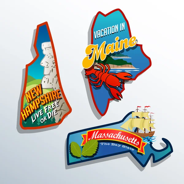
Eastern United States Maine Massachusetts New Hampshire Travel Illustrations Designs
Vector, 2.36MB, 6600 × 6600 eps


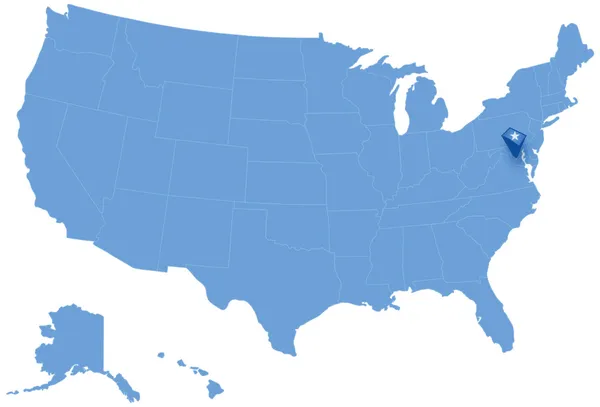
Map Of States Of The United States Where Federal District Of Columbia, Washington, D.C. Is Pulled Out
Vector, 1.5MB, 5666 × 3849 eps
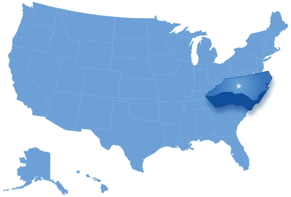
Map Of States Of The United States Where North Carolina Is Pulled Out
Vector, 2.28MB, 5666 × 3849 eps


Page 1 >> Next